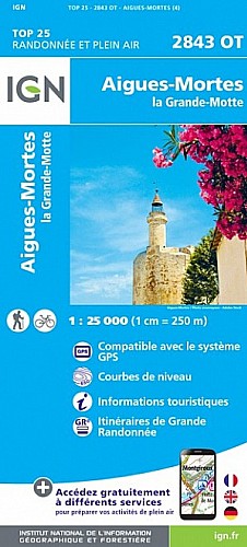
Variation autour du Réseau Vert® croisant les chemins des carriers vers Beaulieu pour rejoindre et longer le monument historique exceptionnel que constitue l'aqueduc de Castries créé par Paul Riquet
 Actions
22 km

+137 m/-126 m

Cliquez pour activer

Cliquez et déplacez la souris sur le profil pour analyser un tronçon (2 doigts sur mobile)
Commentaires
Pas encore de commentaire, connectez-vous pour en ajouter un.
Connectez-vous pour ajouter un commentaire
Longueur et nombre de points

21.72 km

154 pts
Denivelé et altitude
Calculés avec un seuil de 10 mètres et sans lissage (corrigé car densité de points faible)

137 m

126 m

100 m

28 m

63 m
Plus

Affichée 1607 fois et téléchargée 69 fois depuis le 10.02.15 16:38
Carte + Profil [Afficher un aperçu]
<iframe src="https://www.visugpx.com/FFfsNXiJPz?iframe" allowfullscreen style="border: 0;width: 100%; height: 540px;" scrolling="no"></iframe>
Carte uniquement [Afficher un aperçu]
<iframe src="https://www.visugpx.com/FFfsNXiJPz?iframe&maponly" allowfullscreen style="border: 0;width: 100%; height: 540px;" scrolling="no"></iframe>


Nous avons pris en compte votre choix.
Vous souhaitez maîtriser les informations qui peuvent être recueillies lors de votre navigation et avez refusé les cookies de personnalisation des annonces, c'est légitime.
Parce que le service fourni par VisuGPX a un coût, accepteriez-vous quand même que nous utilisions des cookies pour vous présenter des annonces non personnalisées ? Ces cookies ne sont pas des cookies de tracking mais de simples des cookies techniques de diffusion qui garantissent le respect votre vie privée.


 Actions
  22 km
22 km +137 m/-126 m
 Cliquez et déplacez la souris sur le profil pour analyser un tronçon (2 doigts sur mobile)
 53
53 76
76 12 [Légende]

 Pour soutenir VisuGPX, faites le bon choix