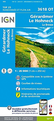
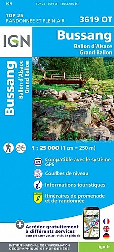
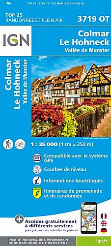
4h30
Départ sur le chemin menant à la FA du Kastelberg (peu après avoir quitté la route des crêtes, au croisement avec le GR)
Peut être raccourcie beaucoup (à Kerbholz) ou encore plus en remontant directement sur la FA du Kasterberg (2h30)
Voir aussi "A partir du Kastelberg" - idem sans la boucle vers le lac D'Altenweher (3h)
A combiner avec un repas à la FA du Kasterberg. Ouverte de mi mai à fin octobre - sert tard le midi (-->2h30)
 Actions
11 km

+613 m/-615 m

±04:15

Cliquez pour activer

Cliquez et déplacez la souris sur le profil pour analyser un tronçon (2 doigts sur mobile)
Commentaires
Pas encore de commentaire, connectez-vous pour en ajouter un.
Connectez-vous pour ajouter un commentaire
Longueur et nombre de points

10.82 km

405 pts
Denivelé et altitude
Calculés avec un seuil de 10 mètres et un lissage sur 5 points

613 m

615 m

1209 m

788 m

1031 m
Plus

Affichée 165 fois et téléchargée 3 fois depuis le 06.10.20 15:10
Carte + Profil [Afficher un aperçu]
<iframe src="https://www.visugpx.com/EmLfZj6EmW?iframe" allowfullscreen style="border: 0;width: 100%; height: 540px;" scrolling="no"></iframe>
Carte uniquement [Afficher un aperçu]
<iframe src="https://www.visugpx.com/EmLfZj6EmW?iframe&maponly" allowfullscreen style="border: 0;width: 100%; height: 540px;" scrolling="no"></iframe>


Nous avons pris en compte votre choix.
Vous souhaitez maîtriser les informations qui peuvent être recueillies lors de votre navigation et avez refusé les cookies de personnalisation des annonces, c'est légitime.
Parce que le service fourni par VisuGPX a un coût, accepteriez-vous quand même que nous utilisions des cookies pour vous présenter des annonces non personnalisées ? Ces cookies ne sont pas des cookies de tracking mais de simples des cookies techniques de diffusion qui garantissent le respect votre vie privée.


 Actions
  11 km
11 km +613 m/-615 m
 ±04:15
 Cliquez et déplacez la souris sur le profil pour analyser un tronçon (2 doigts sur mobile)
 74
74 165
165 95 [Légende]


 Pour soutenir VisuGPX, faites le bon choix