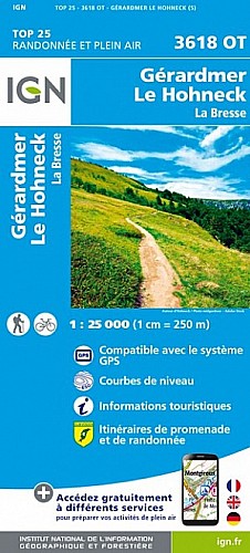
1h45 - très peu de dénivellé - à faire dans le sens proposé car plus facile de repérer le chemin (parfois peu visible).
 Actions
7 km

+84 m/-84 m

±01:45

Cliquez pour activer

Cliquez et déplacez la souris sur le profil pour analyser un tronçon (2 doigts sur mobile)
Détails
Départ au parking des pistes des Hautes Navières (à 3km du chalet, direction la Schlucht).
Au PT2 - dernière maison
Continuer tout droit (chemin peu marqué dans la forêt)
Quand on rejoint le gros chemin, le prendre vers la gauche pour revenir au point de bifurcation
Au PT3 - quitter la route et passer à droite de la ferme vers un gros sapin
le chemin (peu marqué au début) passe entre le sapin (à gauche du sapin) et un abris en bois.
Commentaires
Pas encore de commentaire, connectez-vous pour en ajouter un.
Connectez-vous pour ajouter un commentaire
Longueur et nombre de points

6.54 km

68 pts

2 marqueurs
Denivelé et altitude
Calculés avec un seuil de 10 mètres et un lissage sur 3 points (corrigé car densité de points faible)

83 m

84 m

892 m

808 m

854 m
Plus

Affichée 235 fois et téléchargée 4 fois depuis le 06.10.20 15:10
Carte + Profil [Afficher un aperçu]
<iframe src="https://www.visugpx.com/EVcBnWiLDK?iframe" allowfullscreen style="border: 0;width: 100%; height: 540px;" scrolling="no"></iframe>
Carte uniquement [Afficher un aperçu]
<iframe src="https://www.visugpx.com/EVcBnWiLDK?iframe&maponly" allowfullscreen style="border: 0;width: 100%; height: 540px;" scrolling="no"></iframe>


Nous avons pris en compte votre choix.
Vous souhaitez maîtriser les informations qui peuvent être recueillies lors de votre navigation et avez refusé les cookies de personnalisation des annonces, c'est légitime.
Parce que le service fourni par VisuGPX a un coût, accepteriez-vous quand même que nous utilisions des cookies pour vous présenter des annonces non personnalisées ? Ces cookies ne sont pas des cookies de tracking mais de simples des cookies techniques de diffusion qui garantissent le respect votre vie privée.


 Actions
  7 km
7 km +84 m/-84 m
 ±01:45
 Cliquez et déplacez la souris sur le profil pour analyser un tronçon (2 doigts sur mobile)
 25
25 40
40 3 [Légende]

 Pour soutenir VisuGPX, faites le bon choix