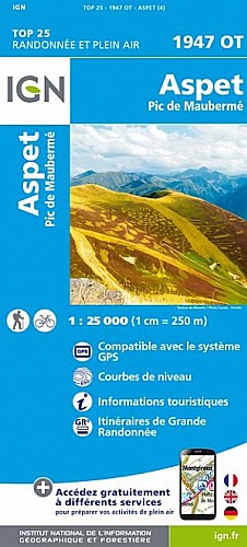
Départ : col de Menté. La montée directe au pic de l'Escalette, faite hors sentier, est très raide mais sans danger par beau temps, donc à éviter par mauvais temps et surtout par brouillard (barres rocheuses). La descente vers le col du Pas de l’Âne passe par des marches assez hautes ; à faire par temps sec. Très beau panorama.
 Actions
11 km

+999 m/-956 m

04:00

Cliquez pour activer


Cliquez et déplacez la souris sur le profil pour analyser un tronçon (2 doigts sur mobile)
Commentaires
Pas encore de commentaire, connectez-vous pour en ajouter un.
Connectez-vous pour ajouter un commentaire
Longueur et nombre de points

10.71 km

1359 pts
Denivelé et altitude
Calculés sans seuil et sans lissage

998 m

956 m

1914 m

1294 m

1634 m
Date et durée

26 juin 2018
09:38

26 juin 2018
15:28

05:49:45

04:00:07

01:49:38
Vitesses et denivelés horaires

2.7 km/h
Détail »

5.1 km/h
au km 8.3

413 m/h
1h59m13s

-430 m/h
1h48m08s
| km | Temps | Vitesse | Pause |
|---|
| 1 | 22'43" | 2.6 km/h | 16'17" |
| 2 | 40'31" | 1.5 km/h | 09'52" |
| 3 | 28'28" | 2.1 km/h | 01'29" |
| 4 | 29'42" | 2 km/h | 04'06" |
| 5 | 18'55" | 3.2 km/h | |
| 6 | 16'05" | 3.7 km/h | 60'15" |
| 7 | 22'14" | 2.7 km/h | 03'03" |
| 8 | 21'22" | 2.8 km/h | 11'38" |
| 9 | 13'15" | 4.5 km/h | 02'58" |
| 10 | 15'05" | 4 km/h | |
Dépense calorique (estimation)

774 Cal
193 Cal/h
Plus

Affichée 911 fois et téléchargée 106 fois depuis le 07.04.20 15:25
Carte + Profil [Afficher un aperçu]
<iframe src="https://www.visugpx.com/CQ6KwABm98?iframe" allowfullscreen style="border: 0;width: 100%; height: 540px;" scrolling="no"></iframe>
Carte uniquement [Afficher un aperçu]
<iframe src="https://www.visugpx.com/CQ6KwABm98?iframe&maponly" allowfullscreen style="border: 0;width: 100%; height: 540px;" scrolling="no"></iframe>

Nous avons pris en compte votre choix.
Vous souhaitez maîtriser les informations qui peuvent être recueillies lors de votre navigation et avez refusé les cookies de personnalisation des annonces, c'est légitime.
Parce que le service fourni par VisuGPX a un coût, accepteriez-vous quand même que nous utilisions des cookies pour vous présenter des annonces non personnalisées ? Ces cookies ne sont pas des cookies de tracking mais de simples des cookies techniques de diffusion qui garantissent le respect votre vie privée.


 Actions
  11 km
11 km +999 m/-956 m
 04:00
04:00

 Cliquez et déplacez la souris sur le profil pour analyser un tronçon (2 doigts sur mobile)
 102
102 238
238 106 [Légende]
 Pour soutenir VisuGPX, faites le bon choix