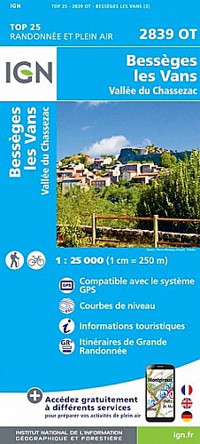
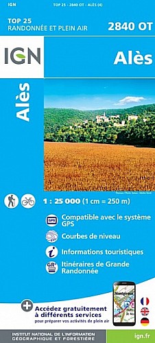
Dès le départ, on découvre des capitelles. Par la suite du parcours ,on se retrouve en crête avec de jolies vues sur Chadouillet et St André de Cruzières. La suite est un peu difficile car on avance sur le rocher, qui peut être glissant par endroit.La chapelle est magnifique et offre un point de vue sur St Sauveur de Cruzières . Le retour se fait par la piste.
 Actions
12 km

+408 m/-385 m

04:00

Cliquez pour activer


Cliquez et déplacez la souris sur le profil pour analyser un tronçon (2 doigts sur mobile)
Commentaires
Pas encore de commentaire, connectez-vous pour en ajouter un.
Connectez-vous pour ajouter un commentaire
Longueur et nombre de points

12.41 km

1467 pts
Denivelé et altitude
Calculés avec un seuil de 10 mètres et un lissage sur 5 points

408 m

386 m

453 m

262 m

329 m
Date et durée

17 avril 2017
12:44

17 avril 2017
17:45

05:01:05

03:55:12

01:05:53
Vitesses et denivelés horaires

3.2 km/h
Détail »

5 km/h
au km 8.7

238 m/h
1h33m23s

-296 m/h
1h09m58s
| km | Temps | Vitesse | Pause |
|---|
| 1 | 16'12" | 3.7 km/h | 06'46" |
| 2 | 18'45" | 3.2 km/h | 02'45" |
| 3 | 21'34" | 2.8 km/h | |
| 4 | 18'22" | 3.3 km/h | 02'25" |
| 5 | 29'40" | 2 km/h | 23'04" |
| 6 | 18'51" | 3.2 km/h | 02'07" |
| 7 | 24'47" | 2.4 km/h | 22'31" |
| 8 | 15'29" | 3.9 km/h | |
| 9 | 16'37" | 3.6 km/h | |
| 10 | 14'30" | 4.1 km/h | 02'58" |
| 11 | 20'05" | 3 km/h | |
| 12 | 14'48" | 4.1 km/h | |
Dépense calorique (estimation)

435 Cal
111 Cal/h
Plus

Affichée 1376 fois et téléchargée 77 fois depuis le 07.04.20 15:25
Carte + Profil [Afficher un aperçu]
<iframe src="https://www.visugpx.com/8Jrd6KVnhS?iframe" allowfullscreen style="border: 0;width: 100%; height: 540px;" scrolling="no"></iframe>
Carte uniquement [Afficher un aperçu]
<iframe src="https://www.visugpx.com/8Jrd6KVnhS?iframe&maponly" allowfullscreen style="border: 0;width: 100%; height: 540px;" scrolling="no"></iframe>


Nous avons pris en compte votre choix.
Vous souhaitez maîtriser les informations qui peuvent être recueillies lors de votre navigation et avez refusé les cookies de personnalisation des annonces, c'est légitime.
Parce que le service fourni par VisuGPX a un coût, accepteriez-vous quand même que nous utilisions des cookies pour vous présenter des annonces non personnalisées ? Ces cookies ne sont pas des cookies de tracking mais de simples des cookies techniques de diffusion qui garantissent le respect votre vie privée.


 Actions
  12 km
12 km +408 m/-385 m
 04:00
04:00

 Cliquez et déplacez la souris sur le profil pour analyser un tronçon (2 doigts sur mobile)
 55
55 106
106 43 [Légende]

 Pour soutenir VisuGPX, faites le bon choix