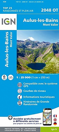
Randonnée à montée progressive de 14 km et 700m de dénivelé positif.
 Actions
14 km

+738 m/-736 m

04:30

Cliquez pour activer


Cliquez et déplacez la souris sur le profil pour analyser un tronçon (2 doigts sur mobile)
Détails
Départ du col de Pause pour arriver à la frontière espagnole au port d'Aula (2260m) avec passage au bord de l'étang d'Areau et de l'étang de Prat matau. Vue dégagée et magnifique sur la chaine des Pyrénées tout le long du trajet.
Commentaires
Pas encore de commentaire, connectez-vous pour en ajouter un.
Connectez-vous pour ajouter un commentaire
Longueur et nombre de points

13.57 km

25844 pts
Denivelé et altitude
Calculés avec un seuil de 10 mètres et un lissage sur 5 points

737 m

737 m

2272 m

1534 m

1913 m
Date et durée

13 septembre 2020
09:44

13 septembre 2020
16:55

07:10:48

04:25:56

02:44:52
Vitesses et denivelés horaires

3.1 km/h
Détail »

5.9 km/h
au km 12.5

270 m/h
2h41m29s

-580 m/h
1h14m39s
| km | Temps | Vitesse | Pause |
|---|
| 1 | 21'56" | 2.7 km/h | 11'54" |
| 2 | 21'31" | 2.8 km/h | 02'08" |
| 3 | 17'51" | 3.4 km/h | |
| 4 | 16'11" | 3.7 km/h | |
| 5 | 21'34" | 2.8 km/h | 14'48" |
| 6 | 20'56" | 2.9 km/h | 06'12" |
| 7 | 21'48" | 2.8 km/h | 03'24" |
| 8 | 24'36" | 2.4 km/h | 58'37" |
| 9 | 21'22" | 2.8 km/h | 14'55" |
| 10 | 18'27" | 3.3 km/h | |
| 11 | 14'20" | 4.2 km/h | |
| 12 | 22'24" | 2.7 km/h | 29'20" |
| 13 | 15'20" | 3.9 km/h | 13'57" |
Dépense calorique (estimation)

707 Cal
160 Cal/h
Plus

Affichée 1703 fois et téléchargée 90 fois depuis le 20.09.20 20:53
Carte + Profil [Afficher un aperçu]
<iframe src="https://www.visugpx.com/7rjTIrCfTt?iframe" allowfullscreen style="border: 0;width: 100%; height: 540px;" scrolling="no"></iframe>
Carte uniquement [Afficher un aperçu]
<iframe src="https://www.visugpx.com/7rjTIrCfTt?iframe&maponly" allowfullscreen style="border: 0;width: 100%; height: 540px;" scrolling="no"></iframe>

Nous avons pris en compte votre choix.
Vous souhaitez maîtriser les informations qui peuvent être recueillies lors de votre navigation et avez refusé les cookies de personnalisation des annonces, c'est légitime.
Parce que le service fourni par VisuGPX a un coût, accepteriez-vous quand même que nous utilisions des cookies pour vous présenter des annonces non personnalisées ? Ces cookies ne sont pas des cookies de tracking mais de simples des cookies techniques de diffusion qui garantissent le respect votre vie privée.


 Actions
  14 km
14 km +738 m/-736 m
 04:30
04:30

 Cliquez et déplacez la souris sur le profil pour analyser un tronçon (2 doigts sur mobile)
 92
92 193
193 73 [Légende]
 Pour soutenir VisuGPX, faites le bon choix