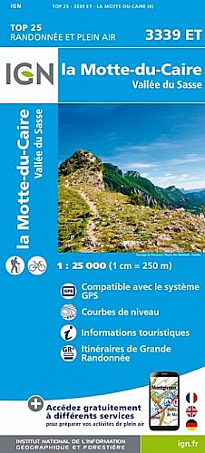
Rando effectuée sous un vent glacial de janvier . Montée du col des sagnes très pentue une peu gelée par endroits puis vers le haut petite couche de neige dure . Soleil tout le long depuis point 1403 (heureusement vu le vent ) Retour par piste 4km puis route 1km un peu fastidieux mais cela évite de descendre par le sentier de montée vue les plaques de glace
 Actions
11 km

+573 m/-560 m

03:45

Cliquez pour activer


Cliquez et déplacez la souris sur le profil pour analyser un tronçon (2 doigts sur mobile)
Commentaires
Pas encore de commentaire, connectez-vous pour en ajouter un.
Connectez-vous pour ajouter un commentaire
Longueur et nombre de points

11.08 km

1035 pts
Denivelé et altitude
Calculés avec un seuil de 10 mètres et un lissage sur 5 points

573 m

560 m

1678 m

1143 m

1378 m
Date et durée

09 janvier 2019
09:47

09 janvier 2019
14:08

04:20:29

03:49:08

00:31:21
Vitesses et denivelés horaires

2.9 km/h
Détail »

6.1 km/h
au km 6.5

297 m/h
1h47m17s

-390 m/h
1h21m56s
| km | Temps | Vitesse | Pause |
|---|
| 1 | 32'26" | 1.9 km/h | 06'03" |
| 2 | 28'03" | 2.1 km/h | 06'10" |
| 3 | 20'25" | 2.9 km/h | 05'52" |
| 4 | 21'36" | 2.8 km/h | 01'46" |
| 5 | 23'15" | 2.6 km/h | |
| 6 | 20'24" | 2.9 km/h | |
| 7 | 16'09" | 3.7 km/h | 11'30" |
| 8 | 16'05" | 3.7 km/h | |
| 9 | 14'27" | 4.2 km/h | |
| 10 | 18'50" | 3.2 km/h | |
| 11 | 15'19" | 3.9 km/h | |
Dépense calorique (estimation)

628 Cal
164 Cal/h
Plus

Affichée 338 fois et téléchargée 8 fois depuis le 07.04.20 15:25
Carte + Profil [Afficher un aperçu]
<iframe src="https://www.visugpx.com/7PK8uH2mp1?iframe" allowfullscreen style="border: 0;width: 100%; height: 540px;" scrolling="no"></iframe>
Carte uniquement [Afficher un aperçu]
<iframe src="https://www.visugpx.com/7PK8uH2mp1?iframe&maponly" allowfullscreen style="border: 0;width: 100%; height: 540px;" scrolling="no"></iframe>

Nous avons pris en compte votre choix.
Vous souhaitez maîtriser les informations qui peuvent être recueillies lors de votre navigation et avez refusé les cookies de personnalisation des annonces, c'est légitime.
Parce que le service fourni par VisuGPX a un coût, accepteriez-vous quand même que nous utilisions des cookies pour vous présenter des annonces non personnalisées ? Ces cookies ne sont pas des cookies de tracking mais de simples des cookies techniques de diffusion qui garantissent le respect votre vie privée.


 Actions
  11 km
11 km +573 m/-560 m
 03:45
03:45

 Cliquez et déplacez la souris sur le profil pour analyser un tronçon (2 doigts sur mobile)
 66
66 137
137 71 [Légende]
 Pour soutenir VisuGPX, faites le bon choix