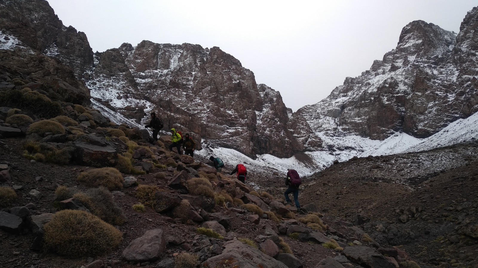
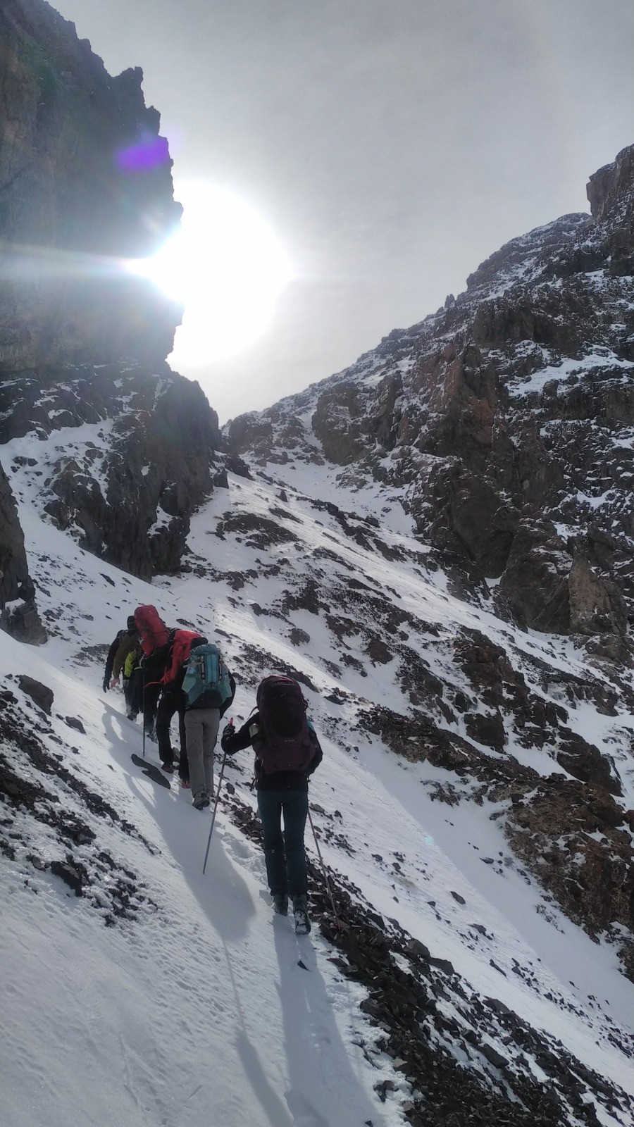
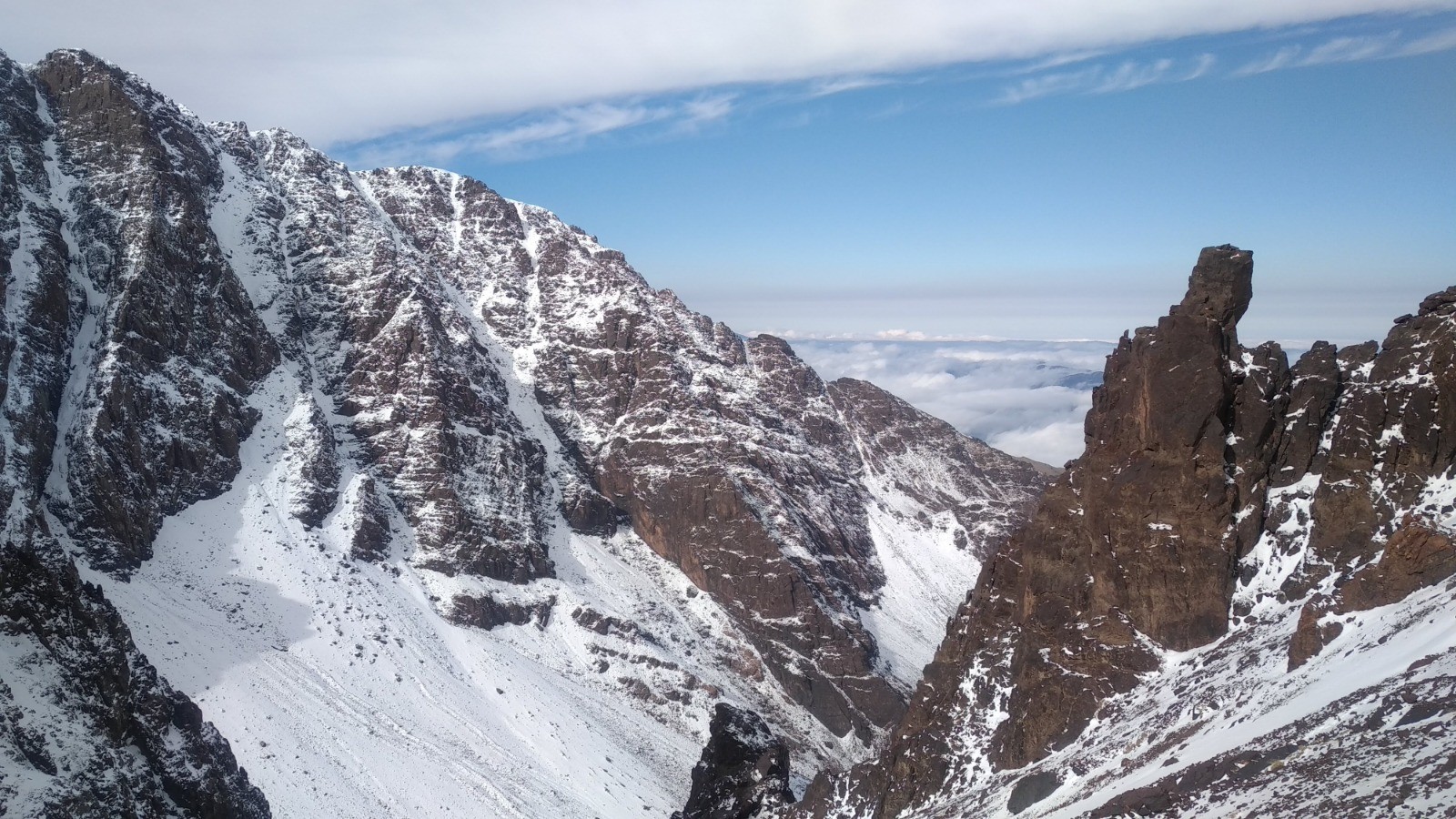
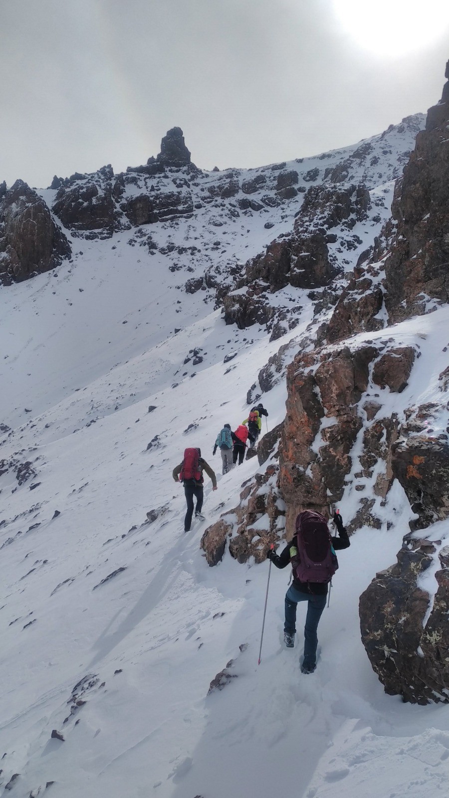
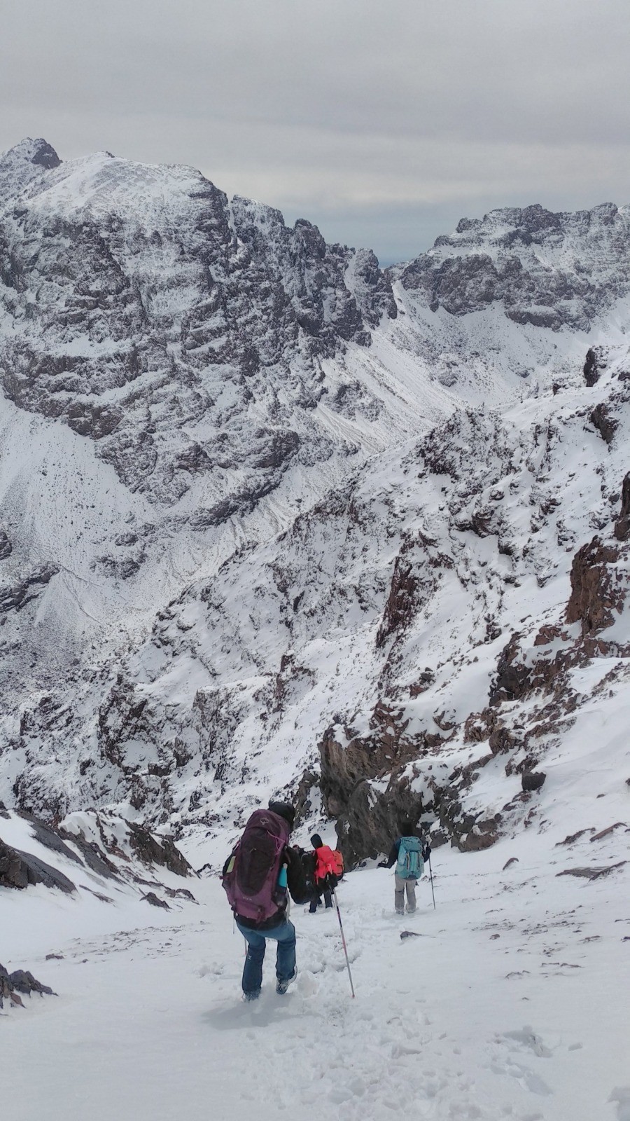
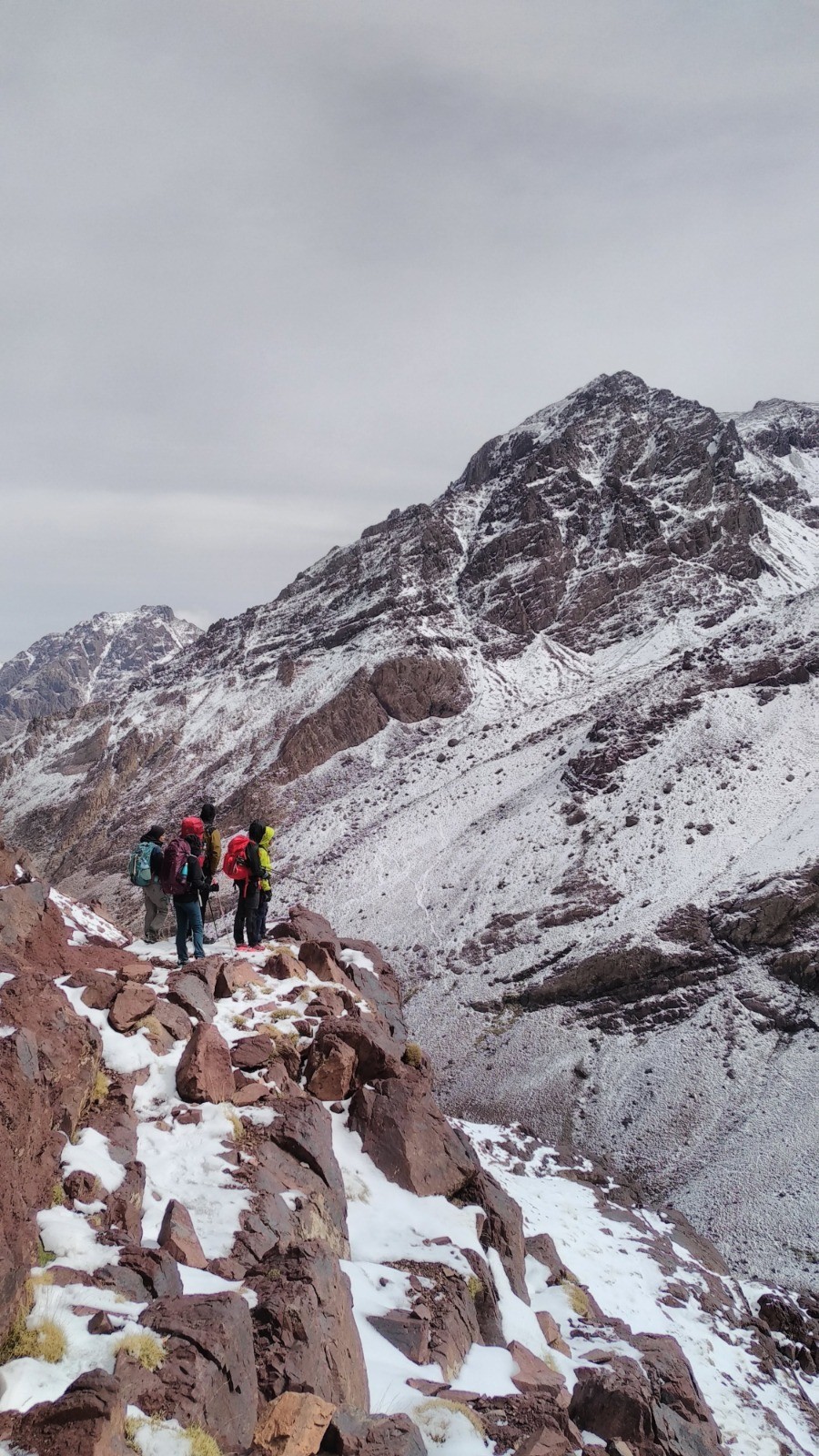
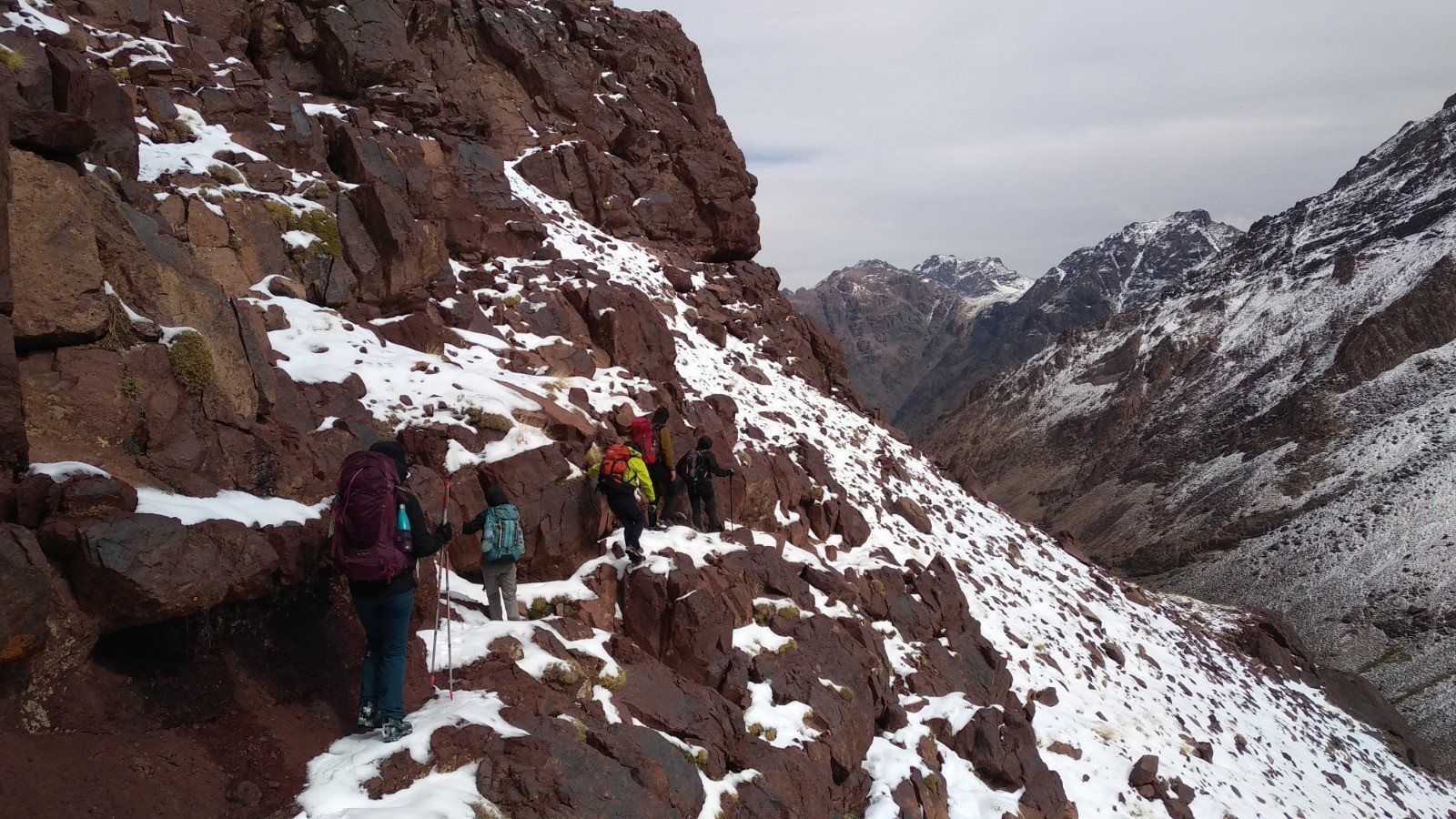
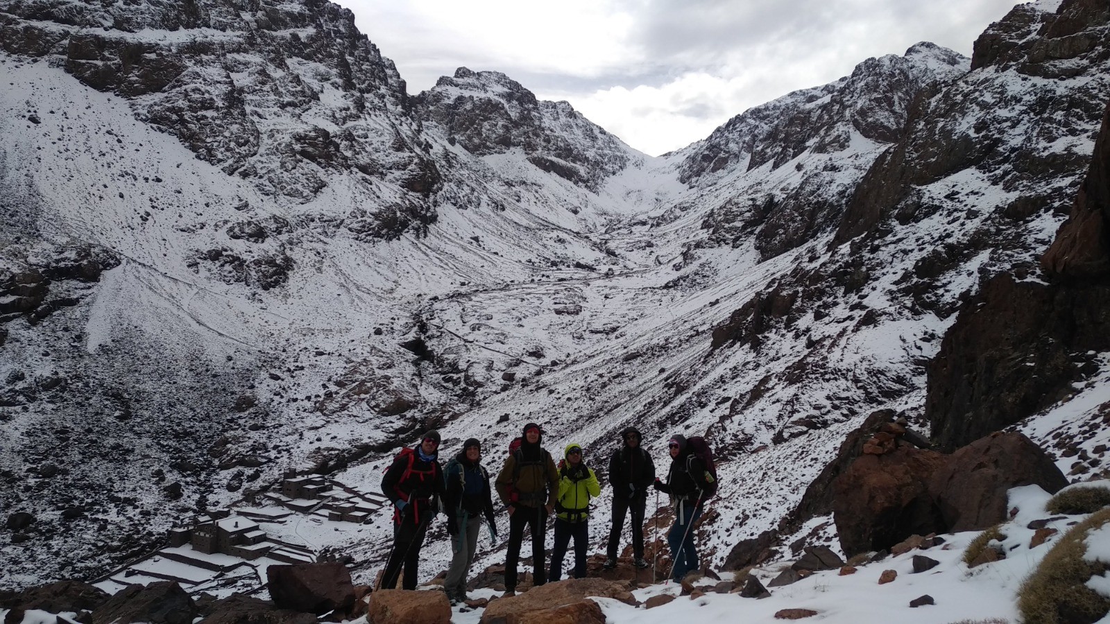
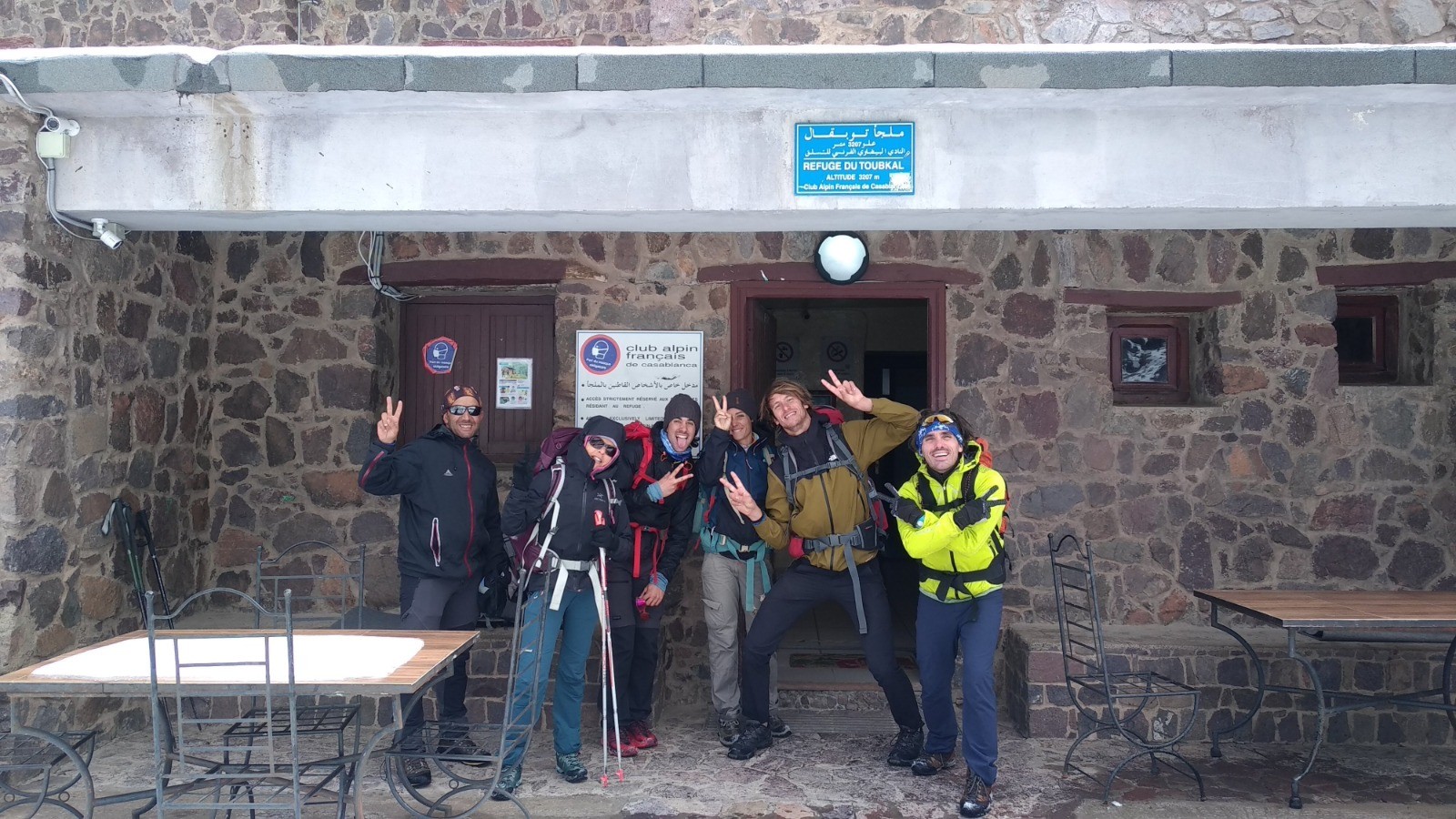
4 jours - 4000 avec les Tom's, Manon, Michel et Hassan. J2
Du refuge Lépiney au refuge du Toubkal par le Tizi n'Tadat (3800 m).
Course mixte en traversée. Beaucoup de neige et quelques passages en glace.
Magnifique itinéraire, plutôt engagé.
En cliquant sur "accepter" vous autorisez l'utilisation de cookies à usage technique nécessaires au bon fonctionnement du site, ainsi que l'utilisation d'autres cookies (éventuellement tiers) à des fins statistiques ou de personnalisation des annonces pour vous proposer des services et des offres adaptées à vos centres d'interêt.
Vous pouvez à tout moment modifier ce choix ou obtenir des informations sur ces cookies sur la page des conditions générales d'utilisation du service :
 ForumsToposLes plus belles randosSegments
 Offre Premium
 Connexion


 Cliquez et déplacez la souris sur le profil pour analyser un tronçon (2 doigts sur mobile)
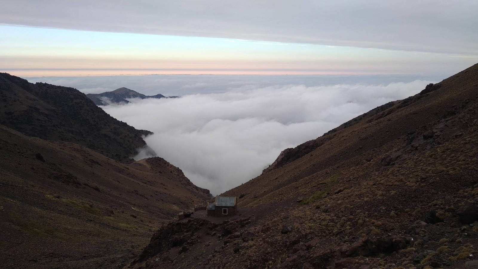

 130
130 273
273 91 [Légende]


 13.1 km
 +707 m
 04:01
04:01
