 Patrick_Lodève le 07.06.2018
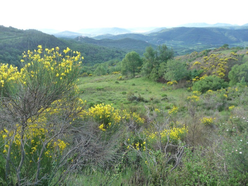
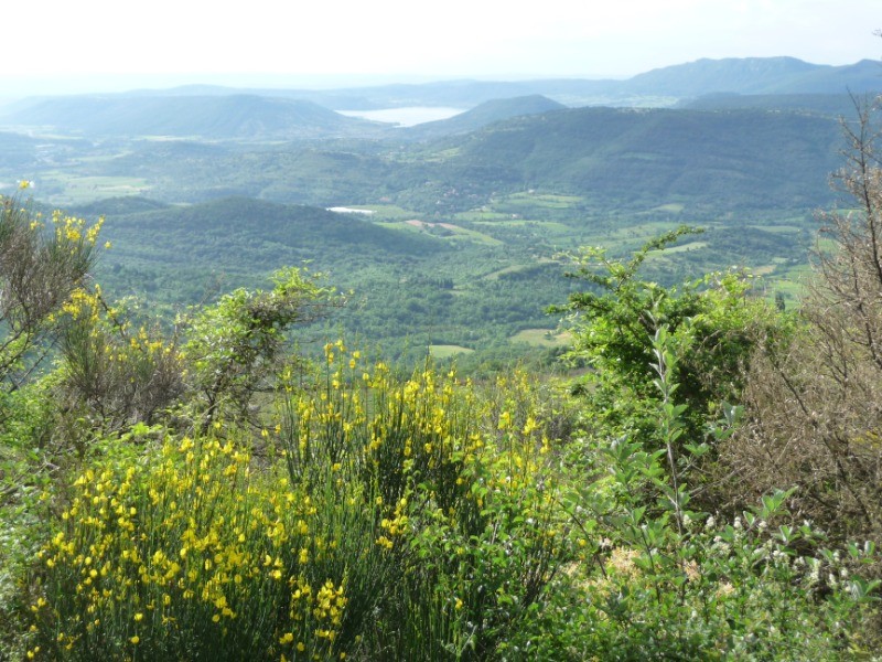
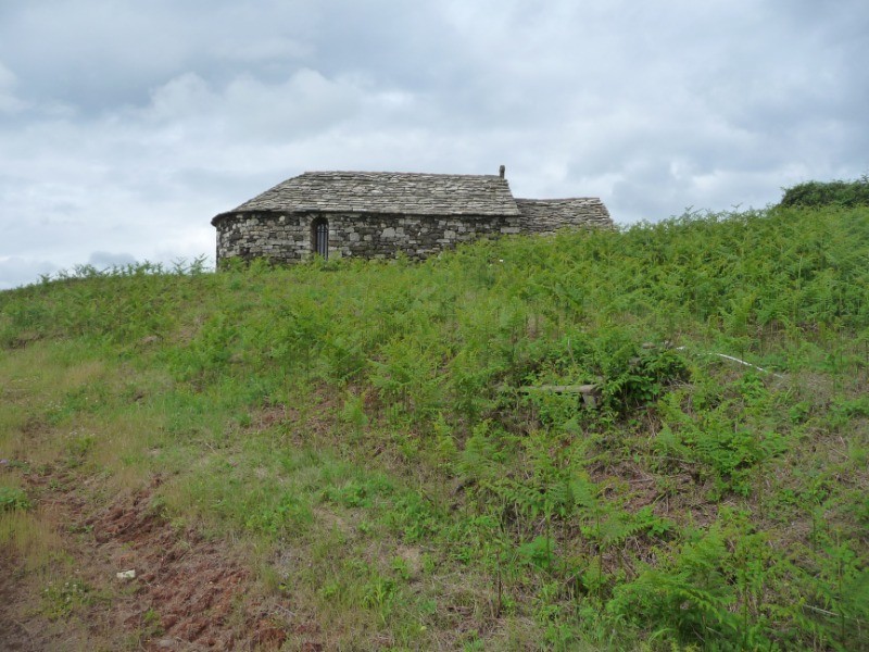
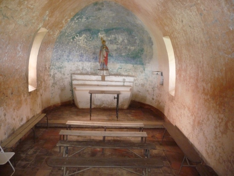
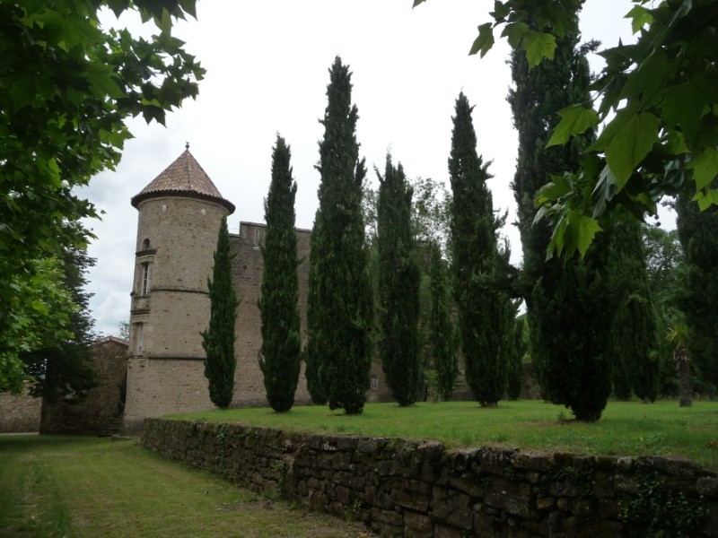
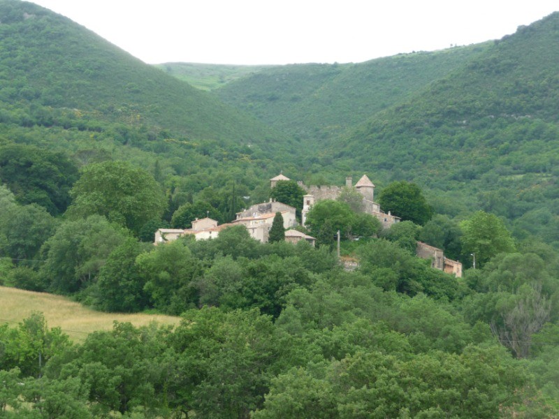
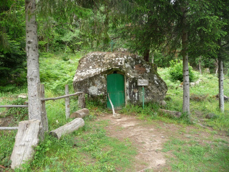
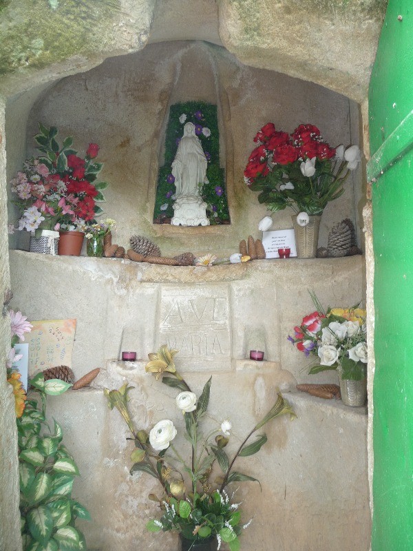
Au départ du lieu-dit la Défriche, commune de Villecun, une rando sans grande difficulté avec de magnifiques vues sur la plaine lodévoise et le lac du Salagou, via la très belle chapelle de St Amans à 670 m. d'altitude, le petit village de Lavalette avec son château, et la minuscule chapelle de Notre-Dame de Falgaret.
 Actions
16.8 km

+501 m/-471 m

04:00

Cliquez pour activer


Cliquez et déplacez la souris sur le profil pour analyser un tronçon (2 doigts sur mobile)
 Photos
Commentaires
Pas encore de commentaire, connectez-vous pour en ajouter un.
Connectez-vous pour ajouter un commentaire
Longueur et nombre de points

16.79 km

1656 pts
Denivelé et altitude
Calculés avec un seuil de 10 mètres et un lissage sur 5 points

501 m

472 m

671 m

268 m

462 m
Date et durée

07 juin 2018
08:34

07 juin 2018
14:24

05:50:25

04:00:41

01:49:44
Vitesses et denivelés horaires

4.2 km/h
Détail »

5.7 km/h
au km 4.2

268 m/h
1h37m48s

-374 m/h
1h11m23s
| km | Temps | Vitesse | Pause |
|---|
| 1 | 15'30" | 3.9 km/h | |
| 2 | 13'47" | 4.4 km/h | 02'41" |
| 3 | 13'15" | 4.5 km/h | |
| 4 | 13'12" | 4.5 km/h | 01'56" |
| 5 | 11'41" | 5.1 km/h | 05'34" |
| 6 | 12'11" | 4.9 km/h | |
| 7 | 15'51" | 3.8 km/h | 16'36" |
| 8 | 15'13" | 3.9 km/h | 38'36" |
| 9 | 14'07" | 4.2 km/h | |
| 10 | 12'45" | 4.7 km/h | |
| 11 | 12'32" | 4.8 km/h | 11'28" |
| 12 | 22'21" | 2.7 km/h | 22'57" |
| 13 | 15'56" | 3.8 km/h | |
| 14 | 14'15" | 4.2 km/h | 02'08" |
| 15 | 14'02" | 4.3 km/h | 06'02" |
| 16 | 14'05" | 4.3 km/h | |
Dépense calorique (estimation)

578 Cal
144 Cal/h
Plus

Affichée 1197 fois et téléchargée 64 fois depuis le 07.04.20 15:25
KME
23.4 kilomètres effort
Carte + Profil [Afficher un aperçu]
<iframe src="https://www.visugpx.com/64P7iKxvwh?iframe" allowfullscreen style="border: 0;width: 100%; height: 540px;" loading="lazy" scrolling="no"></iframe>
Carte uniquement [Afficher un aperçu]
<iframe src="https://www.visugpx.com/64P7iKxvwh?iframe&maponly" allowfullscreen style="border: 0;width: 100%; height: 540px;" loading="lazy" scrolling="no"></iframe>

 ForumsToposLes plus belles randosSegments
 Offre Premium
 Connexion


 60
60 109
109 36 [Légende]


