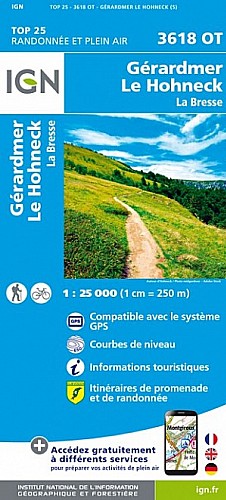
Emprunter la montée en suivant les croix jaunes, puis les chevalets bleus (sentiers des muletiers). Emprunter le disque jaune puis le triangle bleu qui monte vers les sommets. Vous prenez le rectangle rouge vers le hohneck. Descendre vers Schaeferthal puis vers l'auberge au Frankental. De là suivre le disque jaune en descente en passant par de belles cascades versle point de départ.
 Actions
14 km

+899 m/-901 m

±05:45

Cliquez pour activer

Cliquez et déplacez la souris sur le profil pour analyser un tronçon (2 doigts sur mobile)
Commentaires
Pas encore de commentaire, connectez-vous pour en ajouter un.
Connectez-vous pour ajouter un commentaire
Longueur et nombre de points

14.38 km

117 pts
Denivelé et altitude
Calculés avec un seuil de 5 mètres et sans lissage

898 m

901 m

1348 m

560 m

965 m
Plus

Affichée 389 fois et téléchargée 15 fois depuis le 05.06.19 15:02
Carte + Profil [Afficher un aperçu]
<iframe src="https://www.visugpx.com/4XTKgN15jj?iframe" allowfullscreen style="border: 0;width: 100%; height: 540px;" scrolling="no"></iframe>
Carte uniquement [Afficher un aperçu]
<iframe src="https://www.visugpx.com/4XTKgN15jj?iframe&maponly" allowfullscreen style="border: 0;width: 100%; height: 540px;" scrolling="no"></iframe>


Nous avons pris en compte votre choix.
Vous souhaitez maîtriser les informations qui peuvent être recueillies lors de votre navigation et avez refusé les cookies de personnalisation des annonces, c'est légitime.
Parce que le service fourni par VisuGPX a un coût, accepteriez-vous quand même que nous utilisions des cookies pour vous présenter des annonces non personnalisées ? Ces cookies ne sont pas des cookies de tracking mais de simples des cookies techniques de diffusion qui garantissent le respect votre vie privée.


 Actions
  14 km
14 km +899 m/-901 m
 ±05:45
 Cliquez et déplacez la souris sur le profil pour analyser un tronçon (2 doigts sur mobile)
 85
85 190
190 100 [Légende]

 Pour soutenir VisuGPX, faites le bon choix