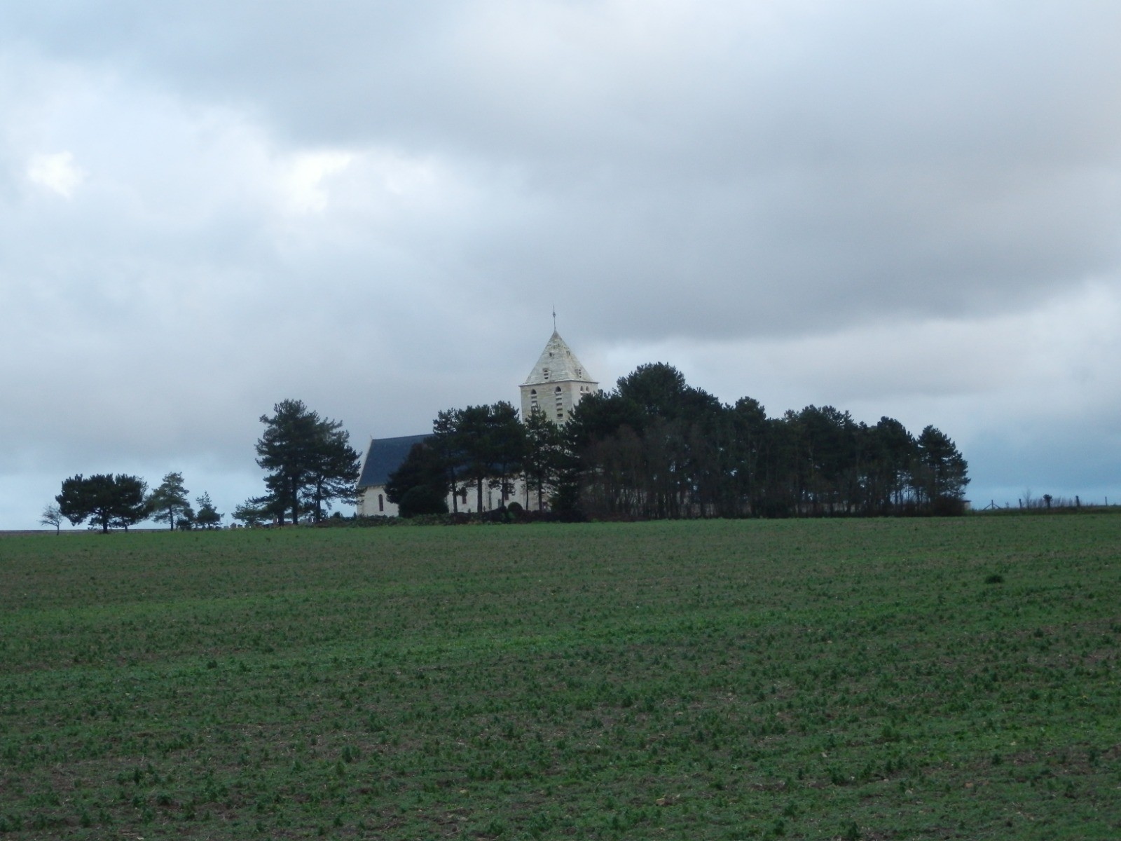
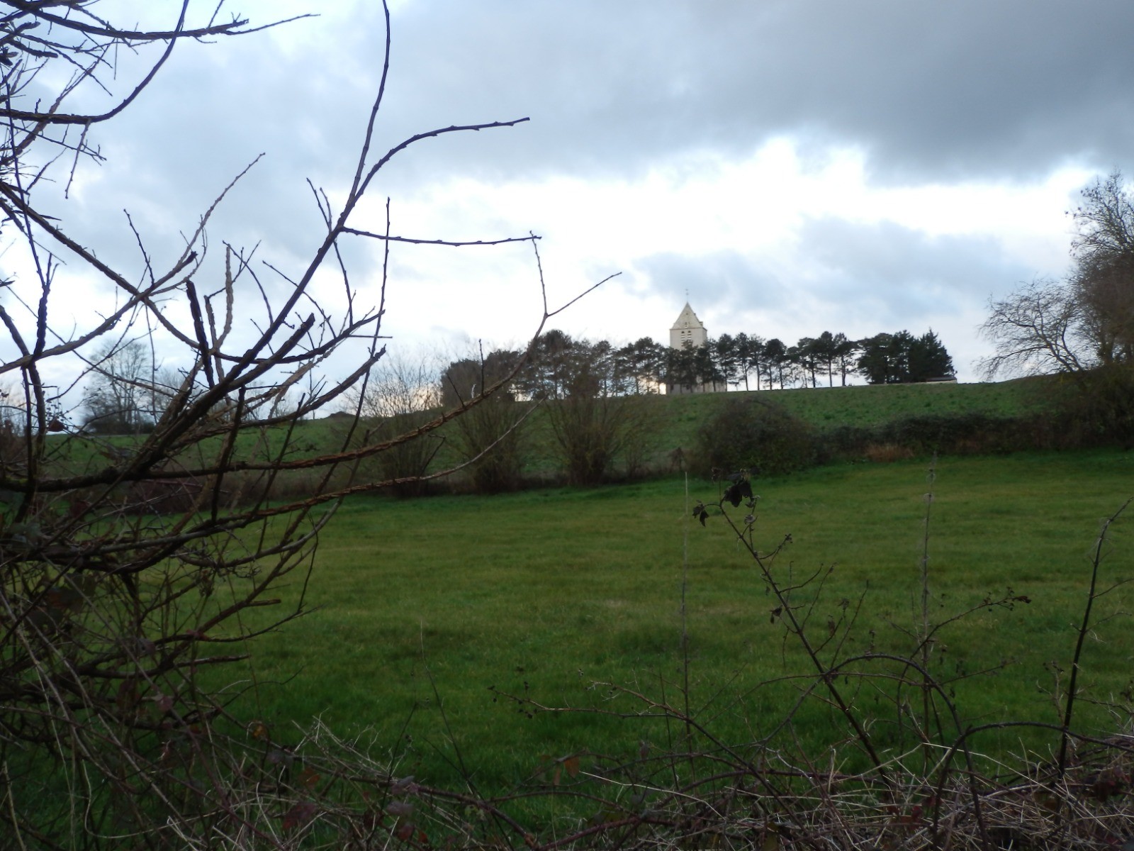
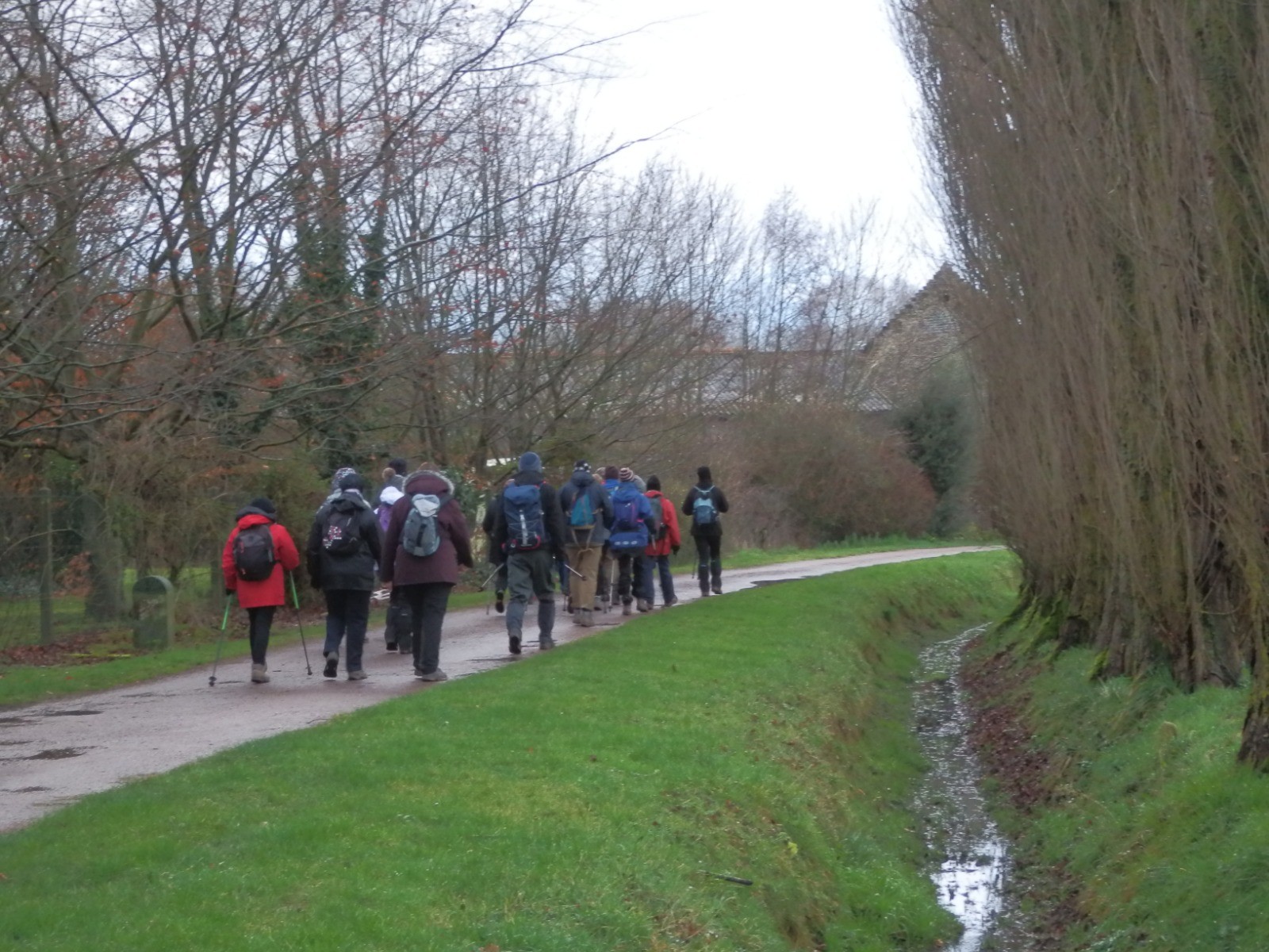
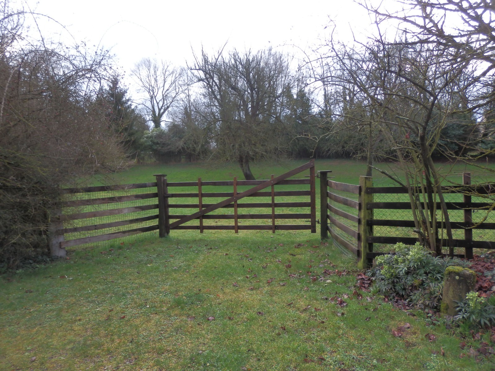
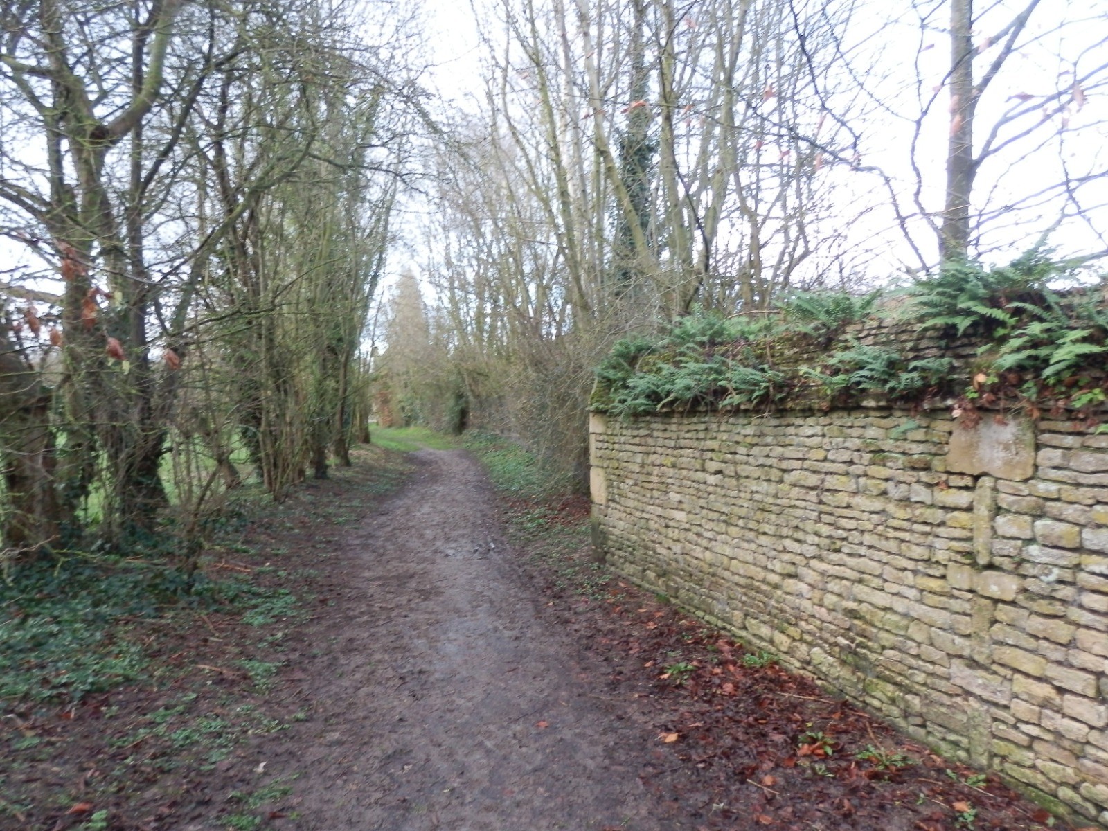
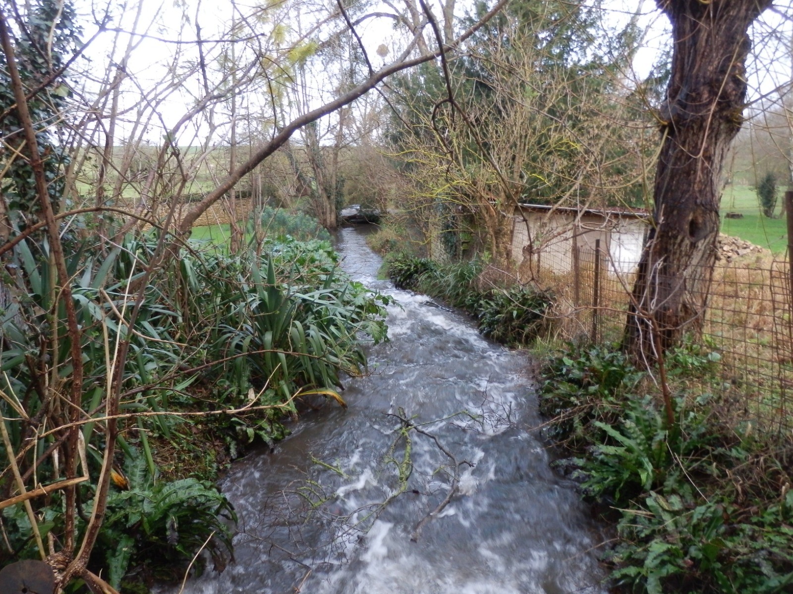
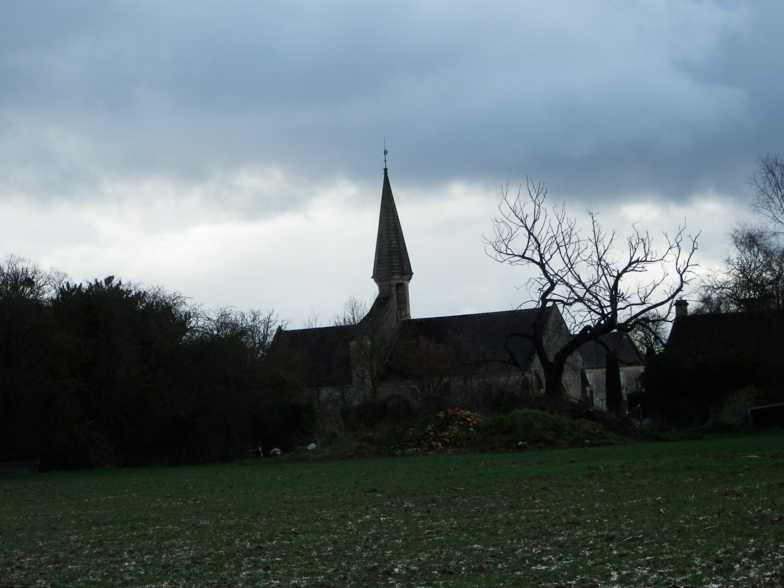
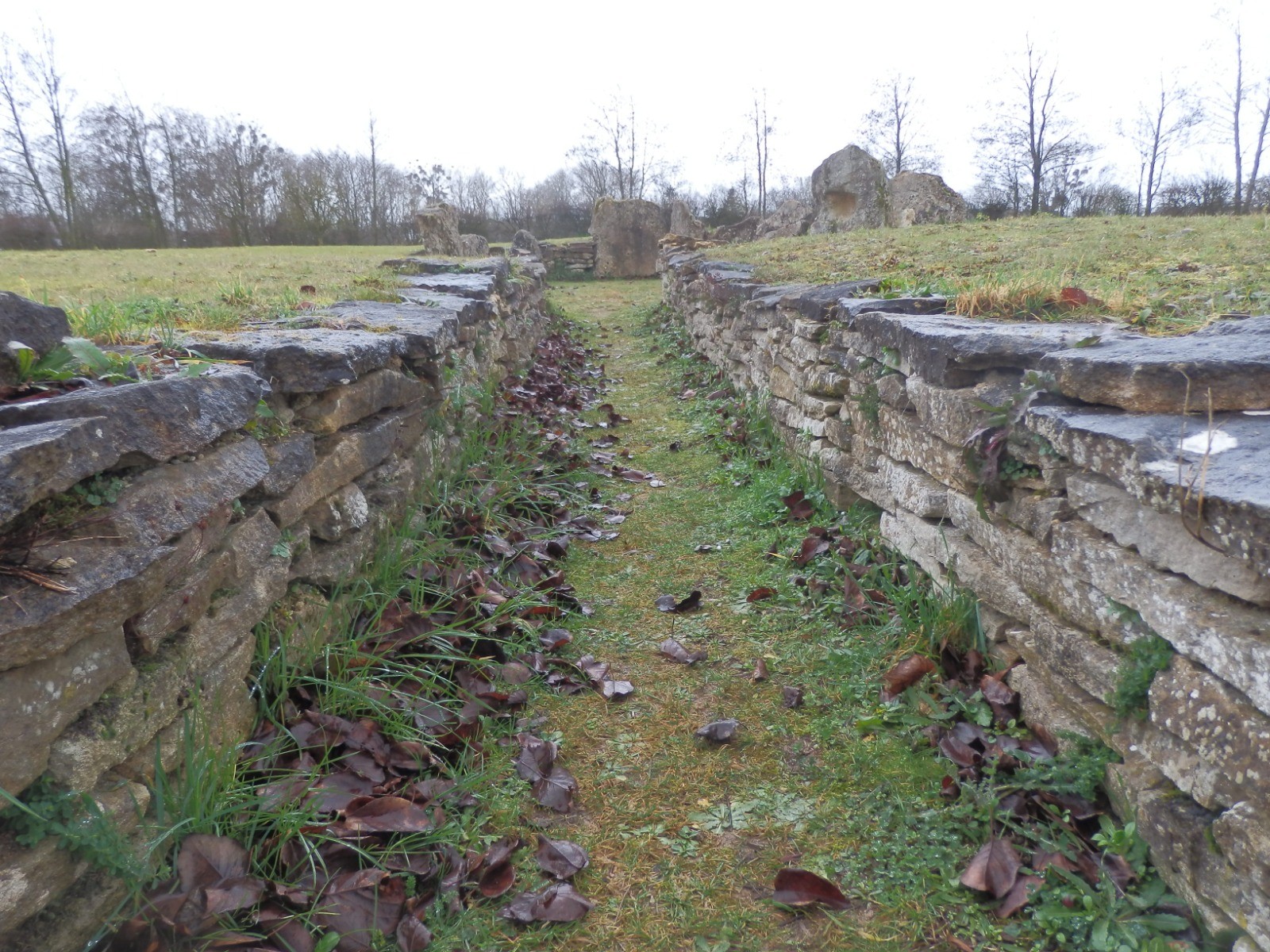
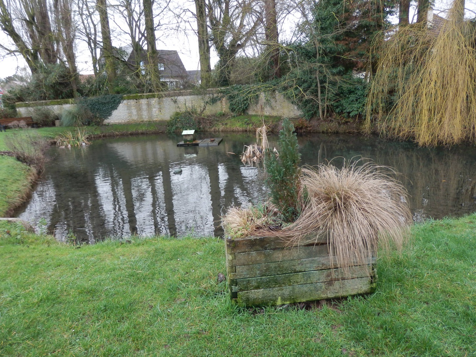
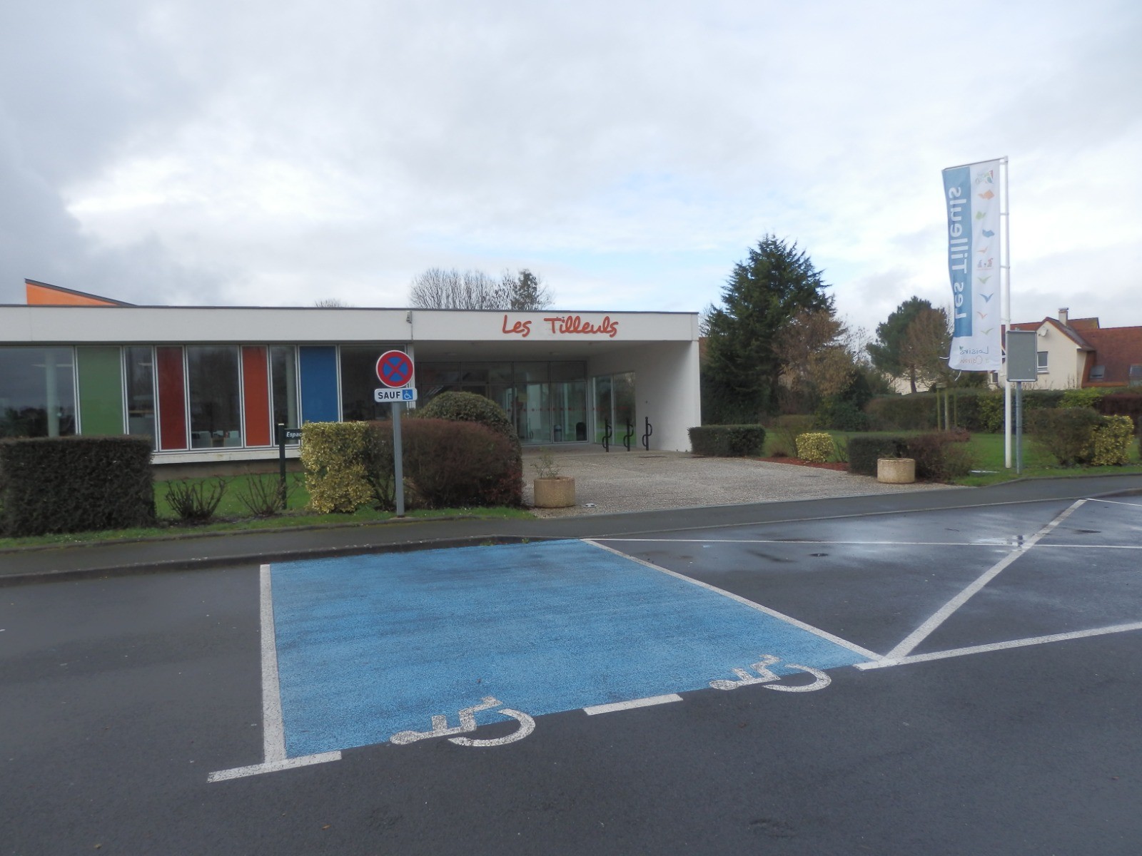
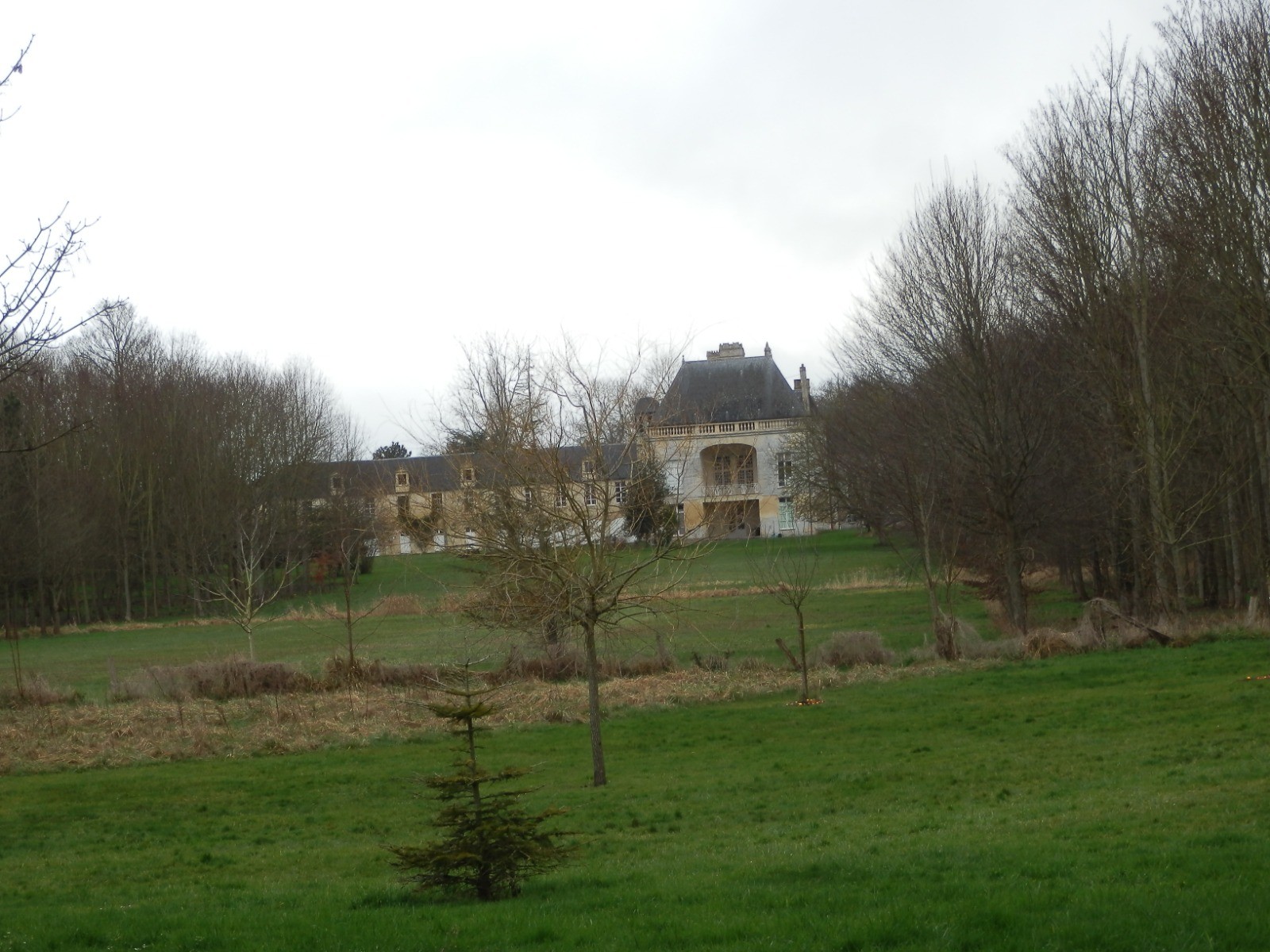
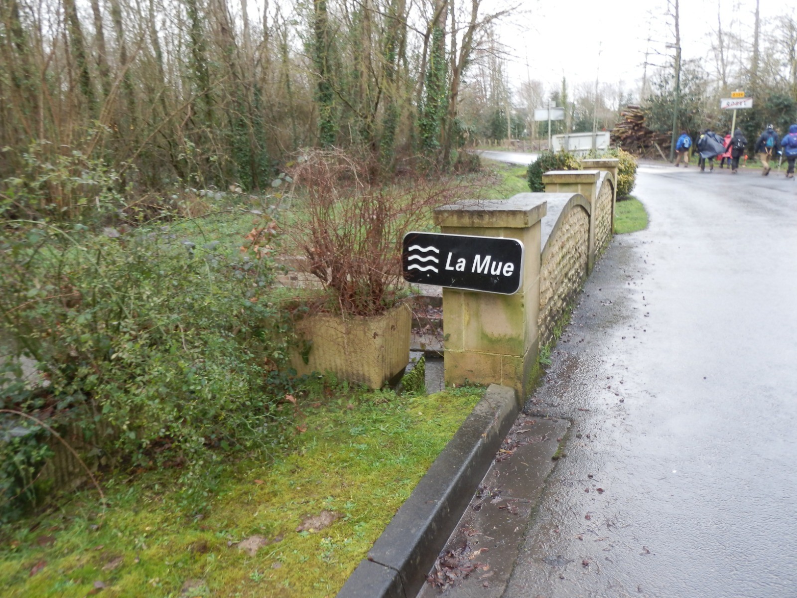
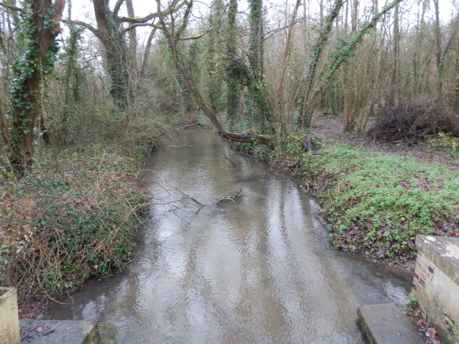
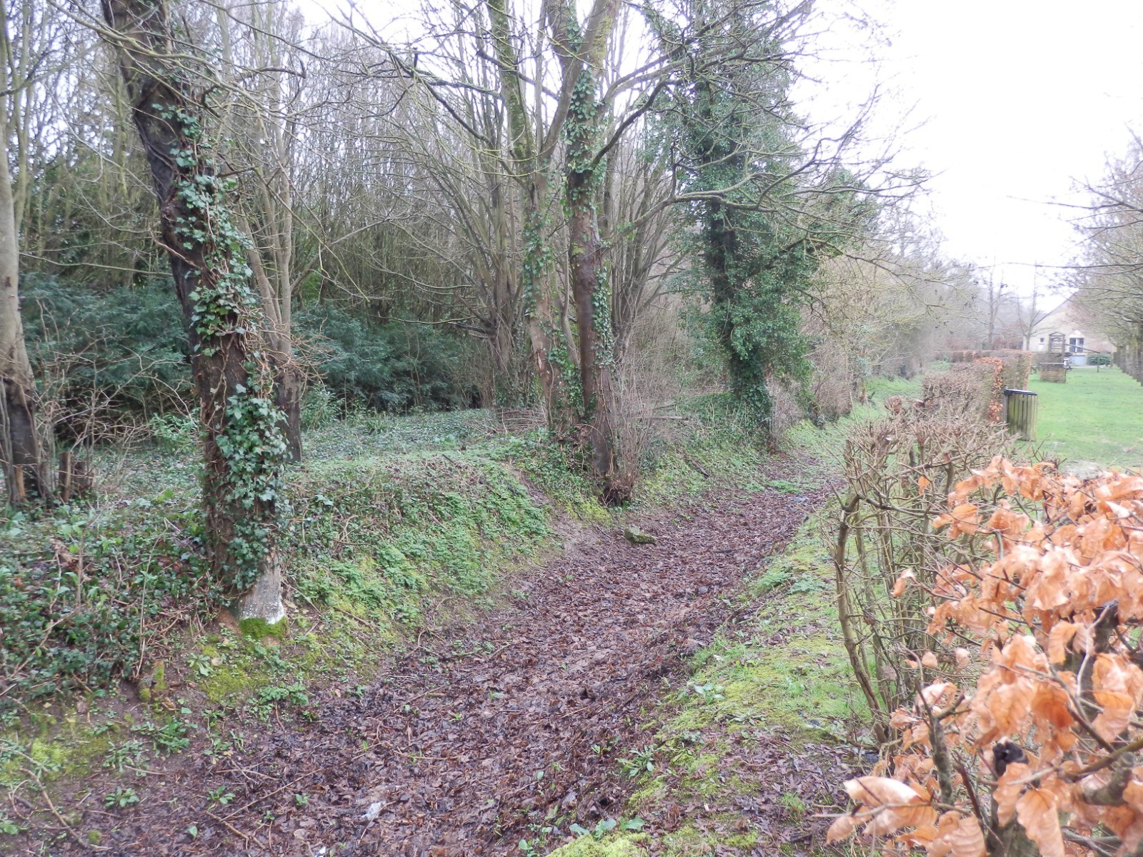
Belle randonnée de 12 km environs au départ de Lasson. Le circuit passe par Cairon et Villons-les-Buissons. Le beau site de la Pierre Tourneresse à découvrir à Cairon. Petit torrent au hameau du Vey. Plusieurs églises sur le parcours et le château de Lasson.
En cliquant sur "accepter" vous autorisez l'utilisation de cookies à usage technique nécessaires au bon fonctionnement du site, ainsi que l'utilisation d'autres cookies (éventuellement tiers) à des fins statistiques ou de personnalisation des annonces pour vous proposer des services et des offres adaptées à vos centres d'interêt.
Vous pouvez à tout moment modifier ce choix ou obtenir des informations sur ces cookies sur la page des conditions générales d'utilisation du service :
 ForumsToposLes plus belles randosSegments
 Offre Premium
 Connexion


 Cliquez et déplacez la souris sur le profil pour analyser un tronçon (2 doigts sur mobile)
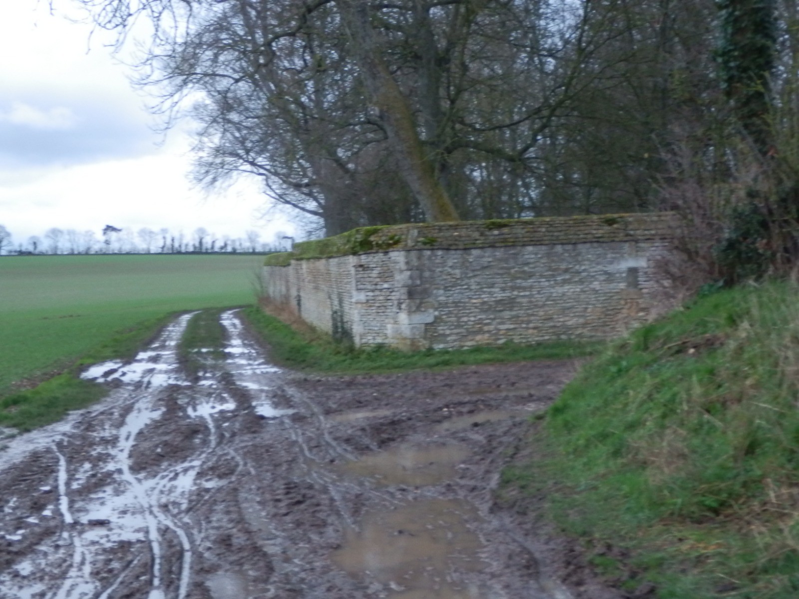


 32
32 42
42 6 [Légende]


 12.1 km
 +49 m
+49 m 02:33
02:33
