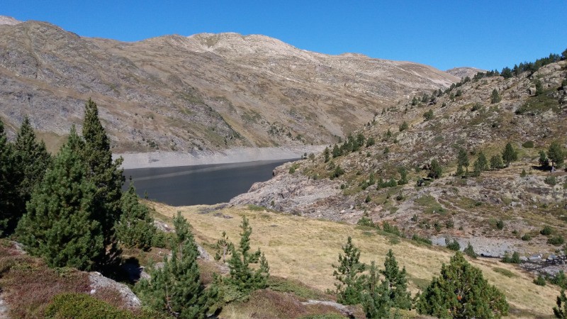
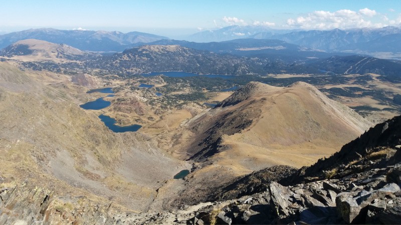
En partant de Porté-Puymorens et nuit 1 a la cabane de l'etand de Coll Roigt.
 Actions
18.4 km

+1513 m
/-789 m
06:50

Cliquez pour activer


Cliquez et déplacez la souris sur le profil pour analyser un tronçon (2 doigts sur mobile)
Détails
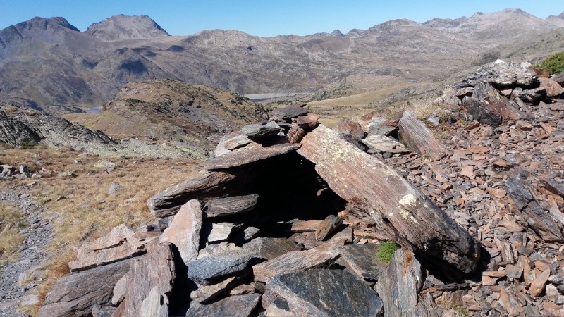
Attention, certaines portions demande une bonne expérience de la montagne
 Photos
Commentaires
Pas encore de commentaire, connectez-vous pour en ajouter un.
Connectez-vous pour ajouter un commentaire
Longueur et nombre de points

18.44 km

4484 pts
Denivelé et altitude
Calculés avec un seuil de 10 mètres et un lissage sur 5 points

1512 m

790 m

2918 m

1728 m

2255 m
Date et durée

30 septembre 2016
08:53

30 septembre 2016
20:16

11:23:48

06:50:13

04:33:35
Vitesses et denivelés horaires

2.7 km/h
Détail »

73.3 km/h
au km 18.4

337 m/h
4h10m40s

-445 m/h
1h33m53s
| km | Temps | Vitesse | Pause |
|---|
| 1 | 14'47" | 4.1 km/h | 02'10" |
| 2 | 18'42" | 3.2 km/h | |
| 3 | 17'39" | 3.4 km/h | 02'24" |
| 4 | 19'18" | 3.1 km/h | 06'55" |
| 5 | 17'13" | 3.5 km/h | 08'05" |
| 6 | 16'36" | 3.6 km/h | 01'22" |
| 7 | 26'39" | 2.3 km/h | 01'59" |
| 8 | 18'53" | 3.2 km/h | 01'44" |
| 9 | 20'54" | 2.9 km/h | 04'51" |
| 10 | 21'58" | 2.7 km/h | 48'22" |
| 11 | 24'08" | 2.5 km/h | 06'43" |
| 12 | 44'38" | 1.3 km/h | 29'05" |
| 13 | 28'15" | 2.1 km/h | 72'45" |
| 14 | 16'15" | 3.7 km/h | |
| 15 | 19'40" | 3.1 km/h | 01'50" |
| 16 | 25'32" | 2.4 km/h | 04'05" |
| 17 | 24'46" | 2.4 km/h | 09'49" |
| 18 | 28'13" | 2.1 km/h | 09'41" |
Dépense calorique (estimation)

1213 Cal
177 Cal/h
Plus

Affichée 1249 fois et téléchargée 47 fois depuis le 07.04.20 15:25
KME
36.2 kilomètres effort
Carte + Profil [Afficher un aperçu]
<iframe src="https://www.visugpx.com/330COIZVlr?iframe" allowfullscreen style="border: 0;width: 100%; height: 540px;" loading="lazy" scrolling="no"></iframe>
Carte uniquement [Afficher un aperçu]
<iframe src="https://www.visugpx.com/330COIZVlr?iframe&maponly" allowfullscreen style="border: 0;width: 100%; height: 540px;" loading="lazy" scrolling="no"></iframe>


 ForumsToposLes plus belles randosSegments
 Offre Premium
 Connexion


 148
148 324
324 193 [Légende]


