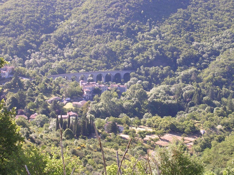
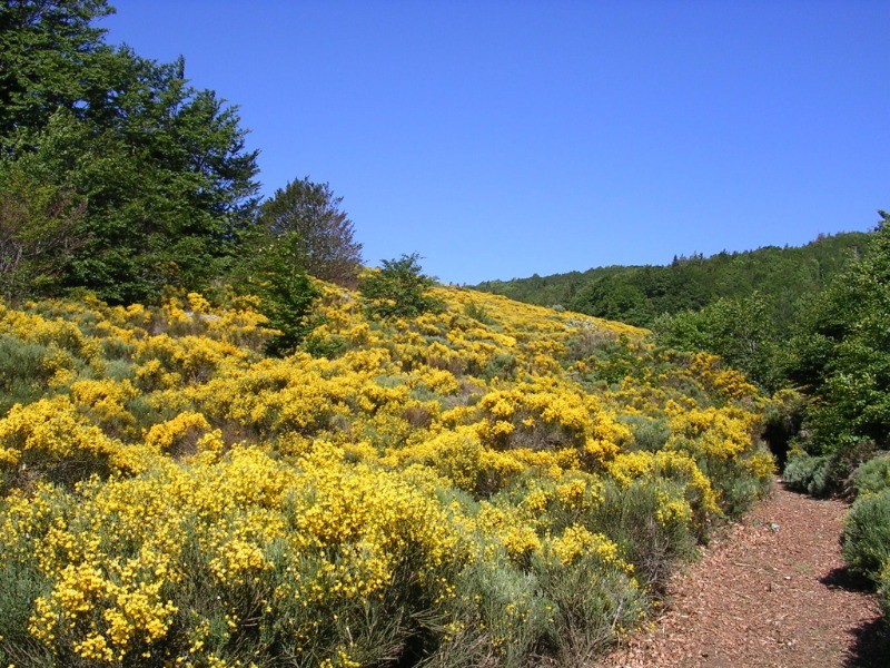
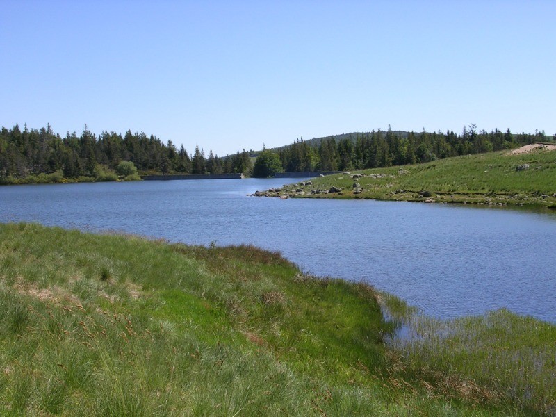
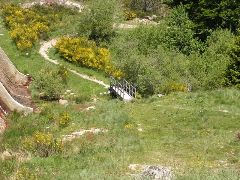
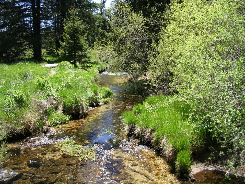
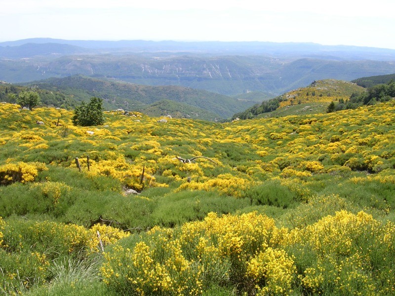
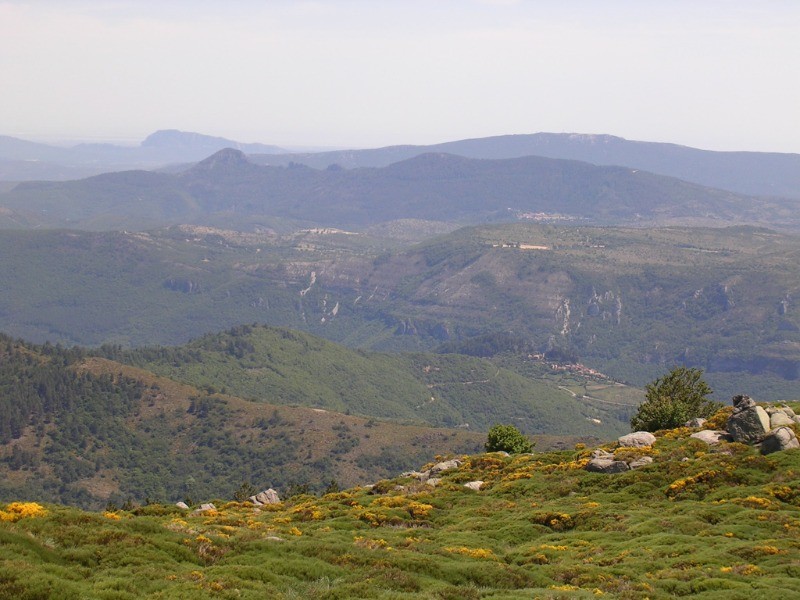
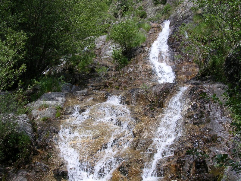
D"aumessas au lac des Pises par le col de l'homme mort et petite boucle pour remonter le ruisseau du Lingas
 Actions
22.4 km

+1048 m
/-1053 m
06:15

Cliquez pour activer


Cliquez et déplacez la souris sur le profil pour analyser un tronçon (2 doigts sur mobile)
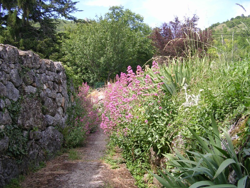
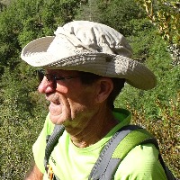
 Photos
Commentaires
Pas encore de commentaire, connectez-vous pour en ajouter un.
Connectez-vous pour ajouter un commentaire
Longueur et nombre de points

22.36 km

2440 pts
Denivelé et altitude
Calculés sans seuil et un lissage sur 5 points

1048 m

1054 m

1359 m

453 m

1047 m
Date et durée

13 juin 2019
08:44

13 juin 2019
16:49

08:04:23

06:15:49

01:48:34
Vitesses et denivelés horaires

3.6 km/h
Détail »

5.4 km/h
au km 14.9

347 m/h
2h49m48s

-480 m/h
2h01m39s
| km | Temps | Vitesse | Pause |
|---|
| 1 | 18'39" | 3.2 km/h | 00'01" |
| 2 | 18'51" | 3.2 km/h | |
| 3 | 17'20" | 3.5 km/h | |
| 4 | 20'41" | 2.9 km/h | 01'37" |
| 5 | 21'24" | 2.8 km/h | |
| 6 | 17'37" | 3.4 km/h | 04'08" |
| 7 | 14'10" | 4.2 km/h | |
| 8 | 16'15" | 3.7 km/h | |
| 9 | 13'10" | 4.6 km/h | |
| 10 | 14'24" | 4.2 km/h | |
| 11 | 15'40" | 3.8 km/h | 79'40" |
| 12 | 12'50" | 4.7 km/h | |
| 13 | 16'48" | 3.6 km/h | |
| 14 | 13'10" | 4.6 km/h | |
| 15 | 14'02" | 4.3 km/h | |
| 16 | 18'04" | 3.3 km/h | |
| 17 | 13'18" | 4.5 km/h | |
| 18 | 15'58" | 3.8 km/h | |
| 19 | 18'21" | 3.3 km/h | 08'18" |
| 20 | 21'06" | 2.8 km/h | 03'01" |
| 21 | 21'16" | 2.8 km/h | 01'39" |
| 22 | 17'15" | 3.5 km/h | 10'10" |
Dépense calorique (estimation)

885 Cal
141 Cal/h
Plus

Affichée 3178 fois et téléchargée 82 fois depuis le 07.04.20 15:25
KME
36.3 kilomètres effort
Carte + Profil [Afficher un aperçu]
<iframe src="https://www.visugpx.com/2v6zOyzqAS?iframe" allowfullscreen style="border: 0;width: 100%; height: 540px;" loading="lazy" scrolling="no"></iframe>
Carte uniquement [Afficher un aperçu]
<iframe src="https://www.visugpx.com/2v6zOyzqAS?iframe&maponly" allowfullscreen style="border: 0;width: 100%; height: 540px;" loading="lazy" scrolling="no"></iframe>

 ForumsToposLes plus belles randosSegments
 Offre Premium
 Connexion


 100
100 209
209 123 [Légende]


