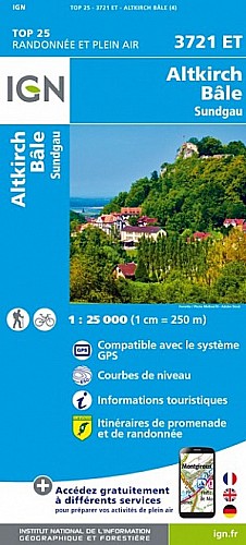
Challenging run through the forest and valley between Mariastein and Metzerlen. The first 8km are hilly but fast and mainly descending into the valley. Then to get back to the starting point, you face a steep 3km hill in the final 4km.
 Actions
12 km

+283 m/-286 m

±03:45

Cliquez pour activer

Cliquez et déplacez la souris sur le profil pour analyser un tronçon (2 doigts sur mobile)
Détails
Compare this clockwise route with the counter-clockwise variation:
http://www.visugpx.com/?i=1401618559
Commentaires
Pas encore de commentaire, connectez-vous pour en ajouter un.
Connectez-vous pour ajouter un commentaire
Longueur et nombre de points

12.29 km

293 pts
Denivelé et altitude
Calculés avec un seuil de 10 mètres et un lissage sur 5 points

282 m

286 m

571 m

445 m

504 m
Plus

Affichée 542 fois et téléchargée 10 fois depuis le 01.06.14 13:26
Carte + Profil [Afficher un aperçu]
<iframe src="https://www.visugpx.com/1401621977?iframe" allowfullscreen style="border: 0;width: 100%; height: 540px;" scrolling="no"></iframe>
Carte uniquement [Afficher un aperçu]
<iframe src="https://www.visugpx.com/1401621977?iframe&maponly" allowfullscreen style="border: 0;width: 100%; height: 540px;" scrolling="no"></iframe>

Nous avons pris en compte votre choix.
Vous souhaitez maîtriser les informations qui peuvent être recueillies lors de votre navigation et avez refusé les cookies de personnalisation des annonces, c'est légitime.
Parce que le service fourni par VisuGPX a un coût, accepteriez-vous quand même que nous utilisions des cookies pour vous présenter des annonces non personnalisées ? Ces cookies ne sont pas des cookies de tracking mais de simples des cookies techniques de diffusion qui garantissent le respect votre vie privée.


 Actions
  12 km
12 km +283 m/-286 m
 ±03:45
 Cliquez et déplacez la souris sur le profil pour analyser un tronçon (2 doigts sur mobile)
 41
41 68
68 25 [Légende]
 Pour soutenir VisuGPX, faites le bon choix