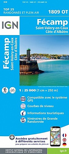
Parcours visant l'accessibilité. Les fonds de valleuses sont très ravinés, attention aux silex. Qq poussages, montées faciles mais avec des marches et glissantes l'hiver. ( L'hiver va de fin septembre à debut mai...) .
Ca descend sec sur Vaucottes, vue somptueuse! Monter sur le talus à D avant la glissière dans l'épingle.
 Actions
25 km

+306 m/-320 m

±02:30

Cliquez pour activer

Cliquez et déplacez la souris sur le profil pour analyser un tronçon (2 doigts sur mobile)
Commentaires
Pas encore de commentaire, connectez-vous pour en ajouter un.
Connectez-vous pour ajouter un commentaire
Longueur et nombre de points

25.19 km

123 pts
Denivelé et altitude
Calculés avec un seuil de 10 mètres et sans lissage (corrigé car densité de points faible)

306 m

320 m

127 m

11 m

82 m
Plus

Affichée 692 fois et téléchargée 21 fois depuis le 02.02.14 18:29
Carte + Profil [Afficher un aperçu]
<iframe src="https://www.visugpx.com/1391362190?iframe" allowfullscreen style="border: 0;width: 100%; height: 540px;" scrolling="no"></iframe>
Carte uniquement [Afficher un aperçu]
<iframe src="https://www.visugpx.com/1391362190?iframe&maponly" allowfullscreen style="border: 0;width: 100%; height: 540px;" scrolling="no"></iframe>


Nous avons pris en compte votre choix.
Vous souhaitez maîtriser les informations qui peuvent être recueillies lors de votre navigation et avez refusé les cookies de personnalisation des annonces, c'est légitime.
Parce que le service fourni par VisuGPX a un coût, accepteriez-vous quand même que nous utilisions des cookies pour vous présenter des annonces non personnalisées ? Ces cookies ne sont pas des cookies de tracking mais de simples des cookies techniques de diffusion qui garantissent le respect votre vie privée.


 Actions
  25 km
25 km +306 m/-320 m
 ±02:30
 Cliquez et déplacez la souris sur le profil pour analyser un tronçon (2 doigts sur mobile)
 69
69 106
106 19 [Légende]

 Pour soutenir VisuGPX, faites le bon choix