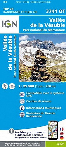
Départ depuis Saint Colomban, traverser le hameau de Gorblaou et prendre la direction de la Baisse de Béasse. Attention, Prendre la direction de Peira Cava et non de Béasse comme nous l'avons fait par erreur.
Nous nous sommes arreté aux granges du lac, mais on peut continuer jusqu'à Peira Cava. RetourRetour par un petit bout de route jusqu'à la borne 173 où l'on descend le vallon de la Mairis, puis celui de St Colomban.
 Actions
15 km

+912 m/-922 m

04:15

Cliquez pour activer

Cliquez et déplacez la souris sur le profil pour analyser un tronçon (2 doigts sur mobile)
Commentaires
Pas encore de commentaire, connectez-vous pour en ajouter un.
Connectez-vous pour ajouter un commentaire
Longueur et nombre de points

15.36 km

2422 pts
Denivelé et altitude
Calculés avec un seuil de 10 mètres et un lissage sur 5 points

911 m

922 m

1521 m

709 m

1101 m
Plus

Affichée 1124 fois et téléchargée 49 fois depuis le 07.04.20 15:25
Carte + Profil [Afficher un aperçu]
<iframe src="https://www.visugpx.com/1371849022?iframe" allowfullscreen style="border: 0;width: 100%; height: 540px;" scrolling="no"></iframe>
Carte uniquement [Afficher un aperçu]
<iframe src="https://www.visugpx.com/1371849022?iframe&maponly" allowfullscreen style="border: 0;width: 100%; height: 540px;" scrolling="no"></iframe>


Nous avons pris en compte votre choix.
Vous souhaitez maîtriser les informations qui peuvent être recueillies lors de votre navigation et avez refusé les cookies de personnalisation des annonces, c'est légitime.
Parce que le service fourni par VisuGPX a un coût, accepteriez-vous quand même que nous utilisions des cookies pour vous présenter des annonces non personnalisées ? Ces cookies ne sont pas des cookies de tracking mais de simples des cookies techniques de diffusion qui garantissent le respect votre vie privée.


 Actions
  15 km
15 km +912 m/-922 m
 04:15
04:15
 Cliquez et déplacez la souris sur le profil pour analyser un tronçon (2 doigts sur mobile)
 93
93 209
209 131 [Légende]

 Pour soutenir VisuGPX, faites le bon choix