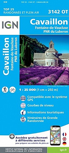
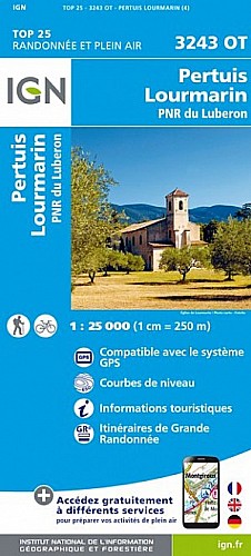
Rando moyenne sans difficulté particulière, à faire dans le sens anti horaire.
Parking près du grand chêne à coté du centre hippique.
Magnifiques vues à partir de la route des cèdres su le coté nord avec les villages de Bonnieux, Lacoste et versant sud sur la vallée de la Durance
Effectuée le 25-01-2013
 Actions
17 km

+517 m/-519 m

04:00

Cliquez pour activer


Cliquez et déplacez la souris sur le profil pour analyser un tronçon (2 doigts sur mobile)
Commentaires
Pas encore de commentaire, connectez-vous pour en ajouter un.
Connectez-vous pour ajouter un commentaire
Longueur et nombre de points

16.51 km

991 pts
Denivelé et altitude
Calculés avec un seuil de 10 mètres et un lissage sur 5 points

517 m

519 m

719 m

253 m

490 m
Date et durée

25 janvier 2013
09:48

25 janvier 2013
15:23

05:35:06

04:02:01

01:33:05
Vitesses et denivelés horaires

4.1 km/h
Détail »

6.3 km/h
au km 13.3

301 m/h
1h29m42s

-340 m/h
1h26m00s
| km | Temps | Vitesse | Pause |
|---|
| 1 | 13'18" | 4.5 km/h | 04'06" |
| 2 | 12'58" | 4.6 km/h | |
| 3 | 12'21" | 4.9 km/h | |
| 4 | 14'13" | 4.2 km/h | 05'41" |
| 5 | 16'03" | 3.7 km/h | |
| 6 | 19'55" | 3 km/h | 09'45" |
| 7 | 13'18" | 4.5 km/h | 01'33" |
| 8 | 12'11" | 4.9 km/h | |
| 9 | 13'50" | 4.3 km/h | 02'59" |
| 10 | 13'10" | 4.6 km/h | |
| 11 | 17'03" | 3.5 km/h | 43'38" |
| 12 | 18'29" | 3.2 km/h | 14'38" |
| 13 | 13'40" | 4.4 km/h | |
| 14 | 11'15" | 5.3 km/h | |
| 15 | 14'49" | 4 km/h | 04'48" |
| 16 | 19'06" | 3.1 km/h | 04'35" |
Dépense calorique (estimation)

564 Cal
140 Cal/h
Plus

Affichée 987 fois et téléchargée 41 fois depuis le 07.04.20 15:25
Carte + Profil [Afficher un aperçu]
<iframe src="https://www.visugpx.com/1359180140?iframe" allowfullscreen style="border: 0;width: 100%; height: 540px;" scrolling="no"></iframe>
Carte uniquement [Afficher un aperçu]
<iframe src="https://www.visugpx.com/1359180140?iframe&maponly" allowfullscreen style="border: 0;width: 100%; height: 540px;" scrolling="no"></iframe>


Nous avons pris en compte votre choix.
Vous souhaitez maîtriser les informations qui peuvent être recueillies lors de votre navigation et avez refusé les cookies de personnalisation des annonces, c'est légitime.
Parce que le service fourni par VisuGPX a un coût, accepteriez-vous quand même que nous utilisions des cookies pour vous présenter des annonces non personnalisées ? Ces cookies ne sont pas des cookies de tracking mais de simples des cookies techniques de diffusion qui garantissent le respect votre vie privée.


 Actions
  17 km
17 km +517 m/-519 m
 04:00
04:00

 Cliquez et déplacez la souris sur le profil pour analyser un tronçon (2 doigts sur mobile)
 63
63 118
118 49 [Légende]

 Pour soutenir VisuGPX, faites le bon choix