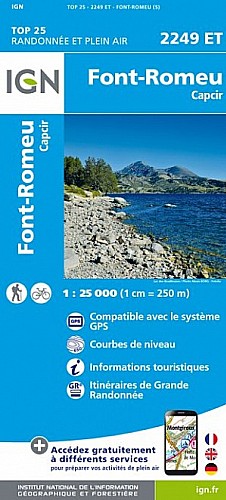
Rando faite le 26/03/2012 en 4h30 pour AMM 2012.
 Actions
10 km

+319 m/-332 m

±03:45

Cliquez pour activer

Cliquez et déplacez la souris sur le profil pour analyser un tronçon (2 doigts sur mobile)
Détails
Très beau sentier de retour en forêt, neige molle avec pluie et neige vers midi puis dégagé en fin de journée.
Retour Pla des Avellans par un pont avec truites dans le ruisseau (pêche no kill).
Commentaires
Pas encore de commentaire, connectez-vous pour en ajouter un.
Connectez-vous pour ajouter un commentaire
Longueur et nombre de points

10.32 km

126 pts
Denivelé et altitude
Calculés avec un seuil de 10 mètres et un lissage sur 3 points (corrigé car densité de points faible)

318 m

332 m

2044 m

1722 m

1878 m
Plus

Affichée 1387 fois et téléchargée 103 fois depuis le 30.07.12 18:05
Carte + Profil [Afficher un aperçu]
<iframe src="https://www.visugpx.com/1343664346?iframe" allowfullscreen style="border: 0;width: 100%; height: 540px;" scrolling="no"></iframe>
Carte uniquement [Afficher un aperçu]
<iframe src="https://www.visugpx.com/1343664346?iframe&maponly" allowfullscreen style="border: 0;width: 100%; height: 540px;" scrolling="no"></iframe>

Nous avons pris en compte votre choix.
Vous souhaitez maîtriser les informations qui peuvent être recueillies lors de votre navigation et avez refusé les cookies de personnalisation des annonces, c'est légitime.
Parce que le service fourni par VisuGPX a un coût, accepteriez-vous quand même que nous utilisions des cookies pour vous présenter des annonces non personnalisées ? Ces cookies ne sont pas des cookies de tracking mais de simples des cookies techniques de diffusion qui garantissent le respect votre vie privée.


 Actions
  10 km
10 km +319 m/-332 m
 ±03:45
 Cliquez et déplacez la souris sur le profil pour analyser un tronçon (2 doigts sur mobile)
 65
65 124
124 35 [Légende]
 Pour soutenir VisuGPX, faites le bon choix