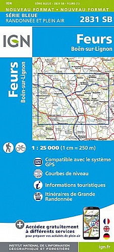
En sortant de Panissières, le circuit emprunte rapidement l'ancienne voie ferrée du monorail jusqu'au lieu dit Moulin Ronzy. La pente est douce. Après avoir passé le pont, on bifurque à droite pour longer la rivière « La Charpassonne » avant de la franchir grâce à un petit pont de bois. Le retour est plus difficile ; après avoir franchi la colline en sous-bois, on passe tout près de la chapelle St Loup, lieu-dit primitif de la cité Panissièroise que l%u2019on aperçoit sur le promontoire. Le retour sur la petite ville est assez raide.
 Actions
8 km

+210 m/-210 m

±01:00

Cliquez pour activer

Cliquez et déplacez la souris sur le profil pour analyser un tronçon (2 doigts sur mobile)
Commentaires
Pas encore de commentaire, connectez-vous pour en ajouter un.
Connectez-vous pour ajouter un commentaire
Longueur et nombre de points

7.74 km

123 pts
Denivelé et altitude
Calculés avec un seuil de 10 mètres et un lissage sur 3 points (corrigé car densité de points faible)

209 m

210 m

607 m

490 m

546 m
Plus

Affichée 1548 fois et téléchargée 51 fois depuis le 25.03.12 19:50
Carte + Profil [Afficher un aperçu]
<iframe src="https://www.visugpx.com/1332697852?iframe" allowfullscreen style="border: 0;width: 100%; height: 540px;" scrolling="no"></iframe>
Carte uniquement [Afficher un aperçu]
<iframe src="https://www.visugpx.com/1332697852?iframe&maponly" allowfullscreen style="border: 0;width: 100%; height: 540px;" scrolling="no"></iframe>

Nous avons pris en compte votre choix.
Vous souhaitez maîtriser les informations qui peuvent être recueillies lors de votre navigation et avez refusé les cookies de personnalisation des annonces, c'est légitime.
Parce que le service fourni par VisuGPX a un coût, accepteriez-vous quand même que nous utilisions des cookies pour vous présenter des annonces non personnalisées ? Ces cookies ne sont pas des cookies de tracking mais de simples des cookies techniques de diffusion qui garantissent le respect votre vie privée.


 Actions
  8 km
8 km +210 m/-210 m
 ±01:00
 Cliquez et déplacez la souris sur le profil pour analyser un tronçon (2 doigts sur mobile)
 33
33 58
58 23 [Légende]
 Pour soutenir VisuGPX, faites le bon choix