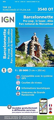
Le profil de ce second tronçon bénéficie lui aussi de la géographie des lieux pour rester raisonnable. La première montée sur route est d'ailleurs assez courte pour être oubliée une fois la longue promenade sur sentier en balcon entamée. Celle-ci nous mène à travers les alpages suspendus jusqu'à une belle descente sur Colmars les Alpes.
 Actions
12 km

+368 m/-542 m

±01:30

Cliquez pour activer

Cliquez et déplacez la souris sur le profil pour analyser un tronçon (2 doigts sur mobile)
Commentaires
Pas encore de commentaire, connectez-vous pour en ajouter un.
Connectez-vous pour ajouter un commentaire
Longueur et nombre de points

11.89 km

675 pts

2 marqueurs
Denivelé et altitude
Calculés avec un seuil de 10 mètres et un lissage sur 5 points

368 m

542 m

1719 m

1269 m

1528 m
Plus

Affichée 8687 fois et téléchargée 810 fois depuis le 13.03.12 23:25
Carte + Profil [Afficher un aperçu]
<iframe src="https://www.visugpx.com/1331677553?iframe" allowfullscreen style="border: 0;width: 100%; height: 540px;" scrolling="no"></iframe>
Carte uniquement [Afficher un aperçu]
<iframe src="https://www.visugpx.com/1331677553?iframe&maponly" allowfullscreen style="border: 0;width: 100%; height: 540px;" scrolling="no"></iframe>

Nous avons pris en compte votre choix.
Vous souhaitez maîtriser les informations qui peuvent être recueillies lors de votre navigation et avez refusé les cookies de personnalisation des annonces, c'est légitime.
Parce que le service fourni par VisuGPX a un coût, accepteriez-vous quand même que nous utilisions des cookies pour vous présenter des annonces non personnalisées ? Ces cookies ne sont pas des cookies de tracking mais de simples des cookies techniques de diffusion qui garantissent le respect votre vie privée.


 Actions
  12 km
12 km +368 m/-542 m
 ±01:30
 Cliquez et déplacez la souris sur le profil pour analyser un tronçon (2 doigts sur mobile)
 55
55 105
105 34 [Légende]
 Pour soutenir VisuGPX, faites le bon choix