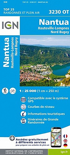
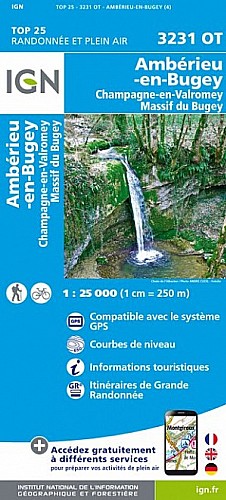
Bibliothèque Ripatons. Départ d Argis (346m) par le sentier du Bujon pour Evosges (760m) et son église du XIIe siècle. Passage par les crêtes (800m) jusqu'au col d Evosges dominant Oncieu "le village en rond". Descente par une forêt très humide aux arbres couverts de mousse avant de rejoindre Oncieu(467m).
La balade se termine sur une petite route qui ramène à Argis.
 Actions
18 km

+593 m/-594 m

±06:00

Cliquez pour activer

Cliquez et déplacez la souris sur le profil pour analyser un tronçon (2 doigts sur mobile)
Commentaires
Pas encore de commentaire, connectez-vous pour en ajouter un.
Connectez-vous pour ajouter un commentaire
Longueur et nombre de points

18.32 km

205 pts
Denivelé et altitude
Calculés avec un seuil de 10 mètres et un lissage sur 3 points (corrigé car densité de points faible)

592 m

594 m

797 m

334 m

566 m
Plus

Affichée 585 fois et téléchargée 25 fois depuis le 01.11.11 09:24
Carte + Profil [Afficher un aperçu]
<iframe src="https://www.visugpx.com/1320135870?iframe" allowfullscreen style="border: 0;width: 100%; height: 540px;" scrolling="no"></iframe>
Carte uniquement [Afficher un aperçu]
<iframe src="https://www.visugpx.com/1320135870?iframe&maponly" allowfullscreen style="border: 0;width: 100%; height: 540px;" scrolling="no"></iframe>


Nous avons pris en compte votre choix.
Vous souhaitez maîtriser les informations qui peuvent être recueillies lors de votre navigation et avez refusé les cookies de personnalisation des annonces, c'est légitime.
Parce que le service fourni par VisuGPX a un coût, accepteriez-vous quand même que nous utilisions des cookies pour vous présenter des annonces non personnalisées ? Ces cookies ne sont pas des cookies de tracking mais de simples des cookies techniques de diffusion qui garantissent le respect votre vie privée.


 Actions
  18 km
18 km +593 m/-594 m
 ±06:00
 Cliquez et déplacez la souris sur le profil pour analyser un tronçon (2 doigts sur mobile)
 85
85 175
175 100 [Légende]

 Pour soutenir VisuGPX, faites le bon choix