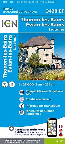
IGN 3428 ET. Départ parking du col du Feu, descendre en suivant la D36, puis la quitter rapidement pour rentrer dans le bois à gauche, suivre le sentier jusque Jouvernaismaz, prendre à gauche vers les Chambrettes, tourner à droite dans un sentier vers les Granges, continuer jusque la côte 819, tourner à droite, et monter vers la montagne des S%u0153urs, tourner à droite sur le GR balcon du Léman, et continuer vers le col du feu.
 Actions
14 km

+851 m/-851 m

±05:45

Cliquez pour activer

Cliquez et déplacez la souris sur le profil pour analyser un tronçon (2 doigts sur mobile)
Commentaires
Pas encore de commentaire, connectez-vous pour en ajouter un.
Connectez-vous pour ajouter un commentaire
Longueur et nombre de points

14.27 km

93 pts
Denivelé et altitude
Calculés sans seuil et sans lissage (corrigé car densité de points faible)

851 m

851 m

1397 m

779 m

1053 m
Plus

Affichée 732 fois et téléchargée 28 fois depuis le 09.10.11 15:51
Carte + Profil [Afficher un aperçu]
<iframe src="https://www.visugpx.com/1318168266?iframe" allowfullscreen style="border: 0;width: 100%; height: 540px;" scrolling="no"></iframe>
Carte uniquement [Afficher un aperçu]
<iframe src="https://www.visugpx.com/1318168266?iframe&maponly" allowfullscreen style="border: 0;width: 100%; height: 540px;" scrolling="no"></iframe>

Nous avons pris en compte votre choix.
Vous souhaitez maîtriser les informations qui peuvent être recueillies lors de votre navigation et avez refusé les cookies de personnalisation des annonces, c'est légitime.
Parce que le service fourni par VisuGPX a un coût, accepteriez-vous quand même que nous utilisions des cookies pour vous présenter des annonces non personnalisées ? Ces cookies ne sont pas des cookies de tracking mais de simples des cookies techniques de diffusion qui garantissent le respect votre vie privée.


 Actions
  14 km
14 km +851 m/-851 m
 ±05:45
 Cliquez et déplacez la souris sur le profil pour analyser un tronçon (2 doigts sur mobile)
 79
79 172
172 87 [Légende]
 Pour soutenir VisuGPX, faites le bon choix