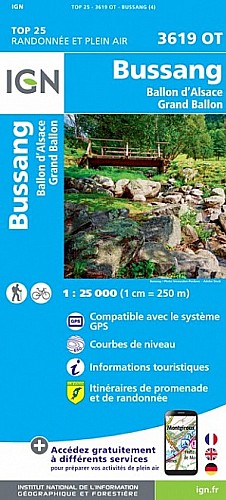
Plancher les mines - Mont Ménard (vierge) - Planche des belles Filles - Roche Fendue - Étang des Belles filles - Tête carrée - Refuge de la Grande goutte - Étang des roseaux - Etang du petit haut - Ballon d'Alsace - Stattue Jeanne d'Arc - Jumenterie - Col du Stalon - Col du Lutier - Ballon de Servance - Belfahy -
 Actions
48 km

+2159 m/-2159 m

±07:00

Cliquez pour activer

Cliquez et déplacez la souris sur le profil pour analyser un tronçon (2 doigts sur mobile)
Commentaires
Pas encore de commentaire, connectez-vous pour en ajouter un.
Connectez-vous pour ajouter un commentaire
Longueur et nombre de points

48.18 km

2101 pts
Denivelé et altitude
Calculés avec un seuil de 10 mètres et un lissage sur 5 points

2158 m

2159 m

1226 m

488 m

960 m
Plus

Affichée 2908 fois et téléchargée 114 fois depuis le 16.07.11 23:28
 Impossible de récupérer l'indice IBP de cette trace
Carte + Profil [Afficher un aperçu]
<iframe src="https://www.visugpx.com/1310851695?iframe" allowfullscreen style="border: 0;width: 100%; height: 540px;" scrolling="no"></iframe>
Carte uniquement [Afficher un aperçu]
<iframe src="https://www.visugpx.com/1310851695?iframe&maponly" allowfullscreen style="border: 0;width: 100%; height: 540px;" scrolling="no"></iframe>


Nous avons pris en compte votre choix.
Vous souhaitez maîtriser les informations qui peuvent être recueillies lors de votre navigation et avez refusé les cookies de personnalisation des annonces, c'est légitime.
Parce que le service fourni par VisuGPX a un coût, accepteriez-vous quand même que nous utilisions des cookies pour vous présenter des annonces non personnalisées ? Ces cookies ne sont pas des cookies de tracking mais de simples des cookies techniques de diffusion qui garantissent le respect votre vie privée.


 Actions
  48 km
48 km +2159 m/-2159 m
 ±07:00
 Cliquez et déplacez la souris sur le profil pour analyser un tronçon (2 doigts sur mobile)

 Pour soutenir VisuGPX, faites le bon choix