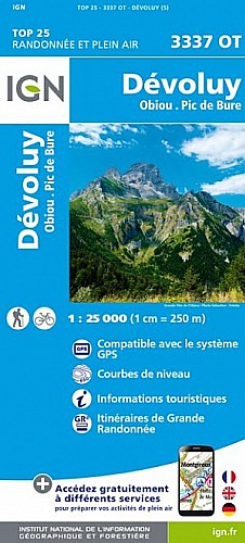
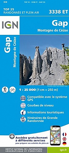
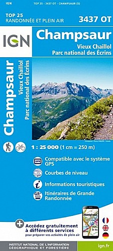
Cette longue boucle permet de côtoyer, en toute quiétude, une nature préservée, de la fraîcheur des rives du Drac aux passages plus spectaculaires, sur les sentiers en balcon de Chaillol, Laye ou Ancelle. A chaque jour son paysage différent...
 Actions
57 km

+1475 m/-1604 m

±06:45

Cliquez pour activer

Cliquez et déplacez la souris sur le profil pour analyser un tronçon (2 doigts sur mobile)
Commentaires
Pas encore de commentaire, connectez-vous pour en ajouter un.
Connectez-vous pour ajouter un commentaire
Longueur et nombre de points

56.89 km

1203 pts
Denivelé et altitude
Calculés avec un seuil de 10 mètres et un lissage sur 5 points

1474 m

1605 m

1572 m

1122 m

1342 m
Plus

Affichée 911 fois et téléchargée 24 fois depuis le 15.06.09 20:47
Carte + Profil [Afficher un aperçu]
<iframe src="https://www.visugpx.com/1245091661?iframe" allowfullscreen style="border: 0;width: 100%; height: 540px;" scrolling="no"></iframe>
Carte uniquement [Afficher un aperçu]
<iframe src="https://www.visugpx.com/1245091661?iframe&maponly" allowfullscreen style="border: 0;width: 100%; height: 540px;" scrolling="no"></iframe>


Nous avons pris en compte votre choix.
Vous souhaitez maîtriser les informations qui peuvent être recueillies lors de votre navigation et avez refusé les cookies de personnalisation des annonces, c'est légitime.
Parce que le service fourni par VisuGPX a un coût, accepteriez-vous quand même que nous utilisions des cookies pour vous présenter des annonces non personnalisées ? Ces cookies ne sont pas des cookies de tracking mais de simples des cookies techniques de diffusion qui garantissent le respect votre vie privée.


 Actions
  57 km
57 km +1475 m/-1604 m
 ±06:45
 Cliquez et déplacez la souris sur le profil pour analyser un tronçon (2 doigts sur mobile)
 205
205 406
406 165 [Légende]


 Pour soutenir VisuGPX, faites le bon choix