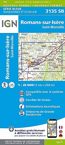
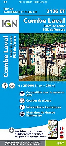
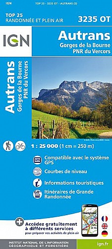
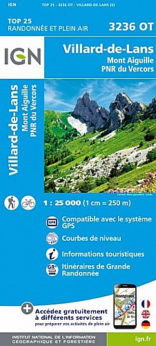
Ascension du Col du Mont Noir (Vercors), par Pont en Royans, le Charmeil et la route forestière des Croisettes.
 Actions
20 km

+1226 m/-45 m

±01:45

Cliquez pour activer

Cliquez et déplacez la souris sur le profil pour analyser un tronçon (2 doigts sur mobile)
Commentaires
Pas encore de commentaire, connectez-vous pour en ajouter un.
Connectez-vous pour ajouter un commentaire
Longueur et nombre de points

19.96 km

263 pts
Denivelé et altitude
Calculés avec un seuil de 10 mètres et un lissage sur 3 points (corrigé car densité de points faible)

1226 m

45 m

1435 m

253 m

816 m
Plus

Affichée 1278 fois et téléchargée 19 fois depuis le 27.05.09 22:00
Carte + Profil [Afficher un aperçu]
<iframe src="https://www.visugpx.com/1243454407?iframe" allowfullscreen style="border: 0;width: 100%; height: 540px;" scrolling="no"></iframe>
Carte uniquement [Afficher un aperçu]
<iframe src="https://www.visugpx.com/1243454407?iframe&maponly" allowfullscreen style="border: 0;width: 100%; height: 540px;" scrolling="no"></iframe>


Nous avons pris en compte votre choix.
Vous souhaitez maîtriser les informations qui peuvent être recueillies lors de votre navigation et avez refusé les cookies de personnalisation des annonces, c'est légitime.
Parce que le service fourni par VisuGPX a un coût, accepteriez-vous quand même que nous utilisions des cookies pour vous présenter des annonces non personnalisées ? Ces cookies ne sont pas des cookies de tracking mais de simples des cookies techniques de diffusion qui garantissent le respect votre vie privée.


 Actions
  20 km
20 km +1226 m/-45 m
 ±01:45
 Cliquez et déplacez la souris sur le profil pour analyser un tronçon (2 doigts sur mobile)
 98
98 193
193 179 [Légende]


 Pour soutenir VisuGPX, faites le bon choix