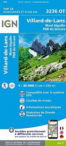
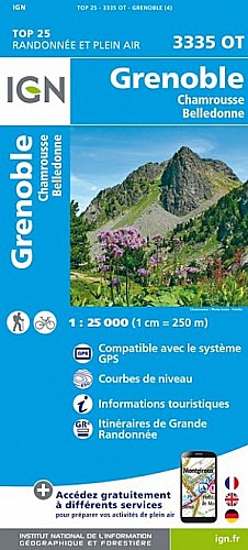
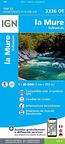
Parcours qui reste très sympa malgré les 14 km de goudron qui sont dans l%u2019ensemble très peu fréquentés par les voitures voire sans voiture comme les 4 km montants sur le col LACHAL. Il y a les 2 fois 1km200 de la RIVOIRE entre Vif et St Georges de Commiers qui sont pénibles part la fréquentation des voitures.
Goudron de toute façon, largement compensé par plus de 4km de descente en sentier (single track)!!!
 Actions
28 km

+732 m/-734 m

Cliquez pour activer

Cliquez et déplacez la souris sur le profil pour analyser un tronçon (2 doigts sur mobile)
Commentaires
Pas encore de commentaire, connectez-vous pour en ajouter un.
Connectez-vous pour ajouter un commentaire
Longueur et nombre de points

28.07 km

298 pts
Denivelé et altitude
Calculés avec un seuil de 10 mètres et un lissage sur 3 points (corrigé car densité de points faible)

731 m

735 m

834 m

270 m

445 m
Plus

Affichée 382 fois et téléchargée 3 fois depuis le 01.03.09 21:40
 Impossible de récupérer l'indice IBP de cette trace
Carte + Profil [Afficher un aperçu]
<iframe src="https://www.visugpx.com/1235940045?iframe" allowfullscreen style="border: 0;width: 100%; height: 540px;" scrolling="no"></iframe>
Carte uniquement [Afficher un aperçu]
<iframe src="https://www.visugpx.com/1235940045?iframe&maponly" allowfullscreen style="border: 0;width: 100%; height: 540px;" scrolling="no"></iframe>


Nous avons pris en compte votre choix.
Vous souhaitez maîtriser les informations qui peuvent être recueillies lors de votre navigation et avez refusé les cookies de personnalisation des annonces, c'est légitime.
Parce que le service fourni par VisuGPX a un coût, accepteriez-vous quand même que nous utilisions des cookies pour vous présenter des annonces non personnalisées ? Ces cookies ne sont pas des cookies de tracking mais de simples des cookies techniques de diffusion qui garantissent le respect votre vie privée.


 Actions
  28 km
28 km +732 m/-734 m
 Cliquez et déplacez la souris sur le profil pour analyser un tronçon (2 doigts sur mobile)


 Pour soutenir VisuGPX, faites le bon choix