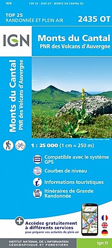
Départ Albepierre montée vers col de la moléde le rocher de la sagne du porc crete de l'aiguillon puy du rocher sentes dans bruyére les rochers de chamaliére passage en désescalade mi herbeux mi rochers passage dans chemin avec ruisseau avant raveyrol retour par le chemin des cascades. Rando de 5 à 7 heures suivant niveau rando 14 juillet 2017
 Actions
16 km

+827 m/-827 m

11:45

Cliquez pour activer

Cliquez et déplacez la souris sur le profil pour analyser un tronçon (2 doigts sur mobile)
Commentaires
Pas encore de commentaire, connectez-vous pour en ajouter un.
Connectez-vous pour ajouter un commentaire
Longueur et nombre de points

16.34 km

1853 pts

4 marqueurs
Denivelé et altitude
Calculés avec un seuil de 10 mètres et un lissage sur 5 points

826 m

828 m

1804 m

1075 m

1406 m
Plus

Affichée 676 fois et téléchargée 34 fois depuis le 07.04.20 15:25
Carte + Profil [Afficher un aperçu]
<iframe src="https://www.visugpx.com/0krbuhRboT?iframe" allowfullscreen style="border: 0;width: 100%; height: 540px;" scrolling="no"></iframe>
Carte uniquement [Afficher un aperçu]
<iframe src="https://www.visugpx.com/0krbuhRboT?iframe&maponly" allowfullscreen style="border: 0;width: 100%; height: 540px;" scrolling="no"></iframe>

Nous avons pris en compte votre choix.
Vous souhaitez maîtriser les informations qui peuvent être recueillies lors de votre navigation et avez refusé les cookies de personnalisation des annonces, c'est légitime.
Parce que le service fourni par VisuGPX a un coût, accepteriez-vous quand même que nous utilisions des cookies pour vous présenter des annonces non personnalisées ? Ces cookies ne sont pas des cookies de tracking mais de simples des cookies techniques de diffusion qui garantissent le respect votre vie privée.


 Actions
  16 km
16 km +827 m/-827 m
 11:45
11:45
 Cliquez et déplacez la souris sur le profil pour analyser un tronçon (2 doigts sur mobile)
 87
87 184
184 104 [Légende]
 Pour soutenir VisuGPX, faites le bon choix