Sortie effectuée avec le Rando Club Yerrois sous la houlette de Gérard D
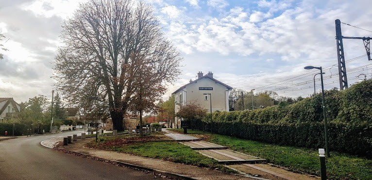
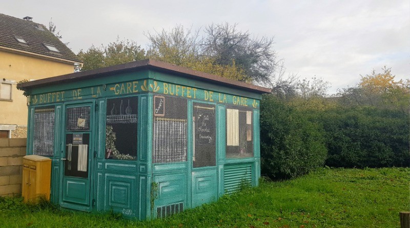
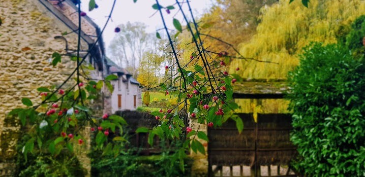
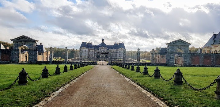
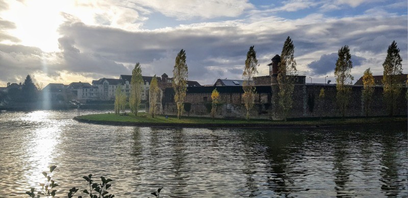
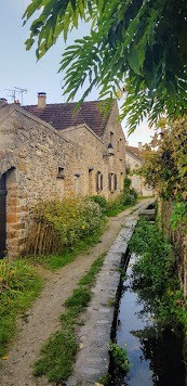
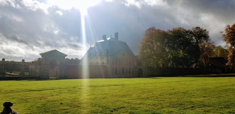
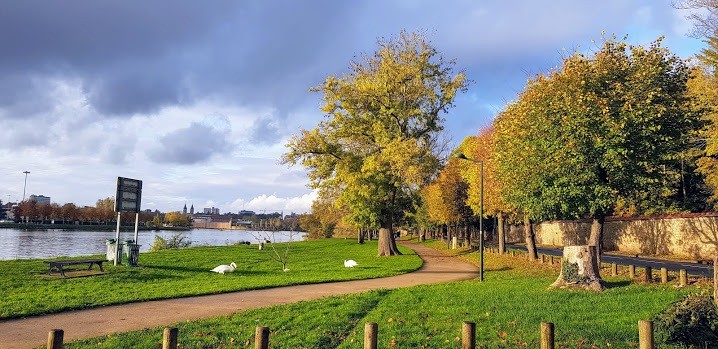
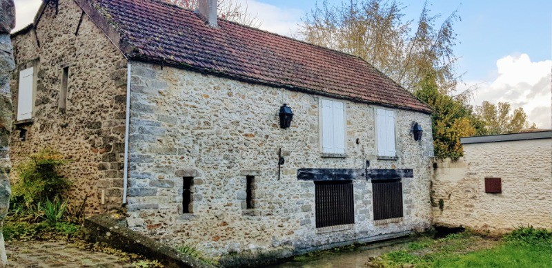
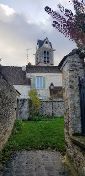
Passage devant le château de Vaux le vicomte, la très grande spa de Vaux le Penil et les très pittoresques villes de Maincy et Moisenay .
 Actions
27.7 km

+101 m
/-107 m
05:36

Cliquez pour activer


Cliquez et déplacez la souris sur le profil pour analyser un tronçon (2 doigts sur mobile)
 Photos
Commentaires
Pas encore de commentaire, connectez-vous pour en ajouter un.
Connectez-vous pour ajouter un commentaire
Longueur et nombre de points

27.69 km

5727 pts
Denivelé et altitude
Calculés avec un seuil de 10 mètres et un lissage sur 5 points

101 m

107 m

135 m

89 m

112 m
Date et durée

13 novembre 2019
09:15

13 novembre 2019
15:46

06:31:04

05:36:25

00:54:39
Vitesses et denivelés horaires

4.9 km/h
Détail »

7.1 km/h
au km 15.8

150 m/h
0h10m57s

-218 m/h
0h08m17s
| km | Temps | Vitesse | Pause |
|---|
| 1 | 13'37" | 4.4 km/h | |
| 2 | 11'36" | 5.2 km/h | 03'16" |
| 3 | 11'21" | 5.3 km/h | |
| 4 | 11'26" | 5.3 km/h | |
| 5 | 10'52" | 5.5 km/h | |
| 6 | 11'17" | 5.3 km/h | 03'37" |
| 7 | 10'56" | 5.5 km/h | |
| 8 | 11'28" | 5.2 km/h | |
| 9 | 12'12" | 4.9 km/h | 11'49" |
| 10 | 11'37" | 5.2 km/h | |
| 11 | 12'04" | 5 km/h | |
| 12 | 11'13" | 5.3 km/h | |
| 13 | 13'25" | 4.5 km/h | |
| 14 | 11'25" | 5.3 km/h | |
| 15 | 11'26" | 5.2 km/h | |
| 16 | 11'25" | 5.3 km/h | 04'36" |
| 17 | 16'59" | 3.5 km/h | 26'20" |
| 18 | 11'40" | 5.1 km/h | |
| 19 | 11'16" | 5.3 km/h | |
| 20 | 13'21" | 4.5 km/h | |
| 21 | 11'48" | 5.1 km/h | |
| 22 | 12'01" | 5 km/h | |
| 23 | 14'32" | 4.1 km/h | |
| 24 | 11'14" | 5.3 km/h | 05'01" |
| 25 | 11'54" | 5 km/h | |
| 26 | 10'54" | 5.5 km/h | |
| 27 | 12'19" | 4.9 km/h | |
Dépense calorique (estimation)

459 Cal
82 Cal/h
Plus

Affichée 588 fois et téléchargée 42 fois depuis le 07.04.20 15:25
KME
29.1 kilomètres effort
Carte + Profil [Afficher un aperçu]
<iframe src="https://www.visugpx.com/0gmEEOlzEX?iframe" allowfullscreen style="border: 0;width: 100%; height: 540px;" loading="lazy" scrolling="no"></iframe>
Carte uniquement [Afficher un aperçu]
<iframe src="https://www.visugpx.com/0gmEEOlzEX?iframe&maponly" allowfullscreen style="border: 0;width: 100%; height: 540px;" loading="lazy" scrolling="no"></iframe>


 ForumsToposLes plus belles randosSegments
 Offre Premium
 Connexion


 67
67 90
90 18 [Légende]


