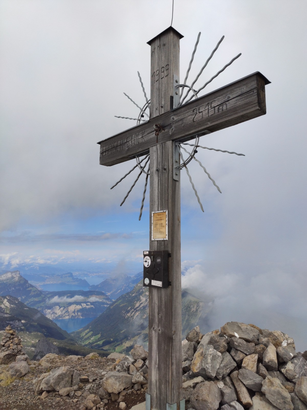
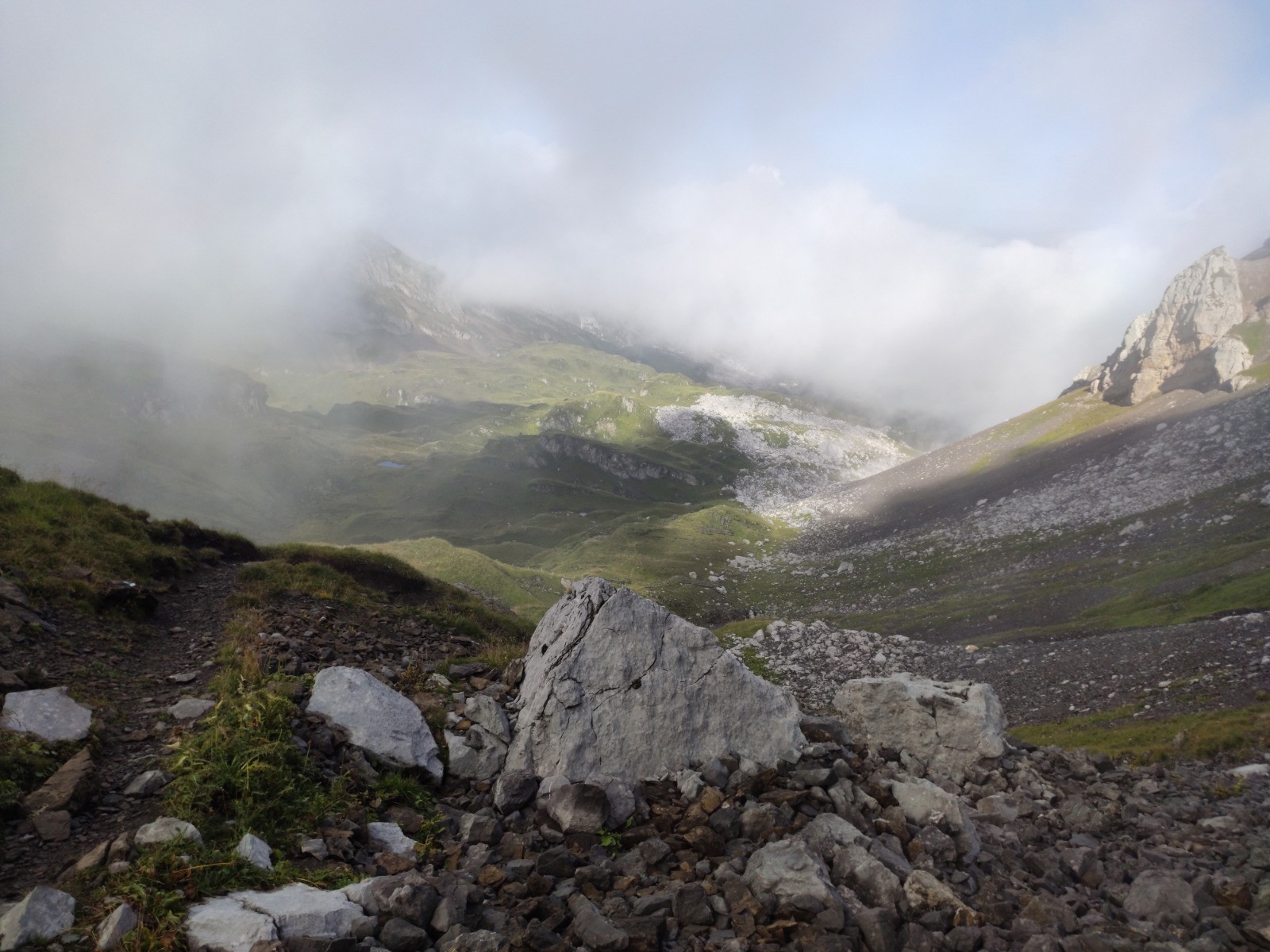
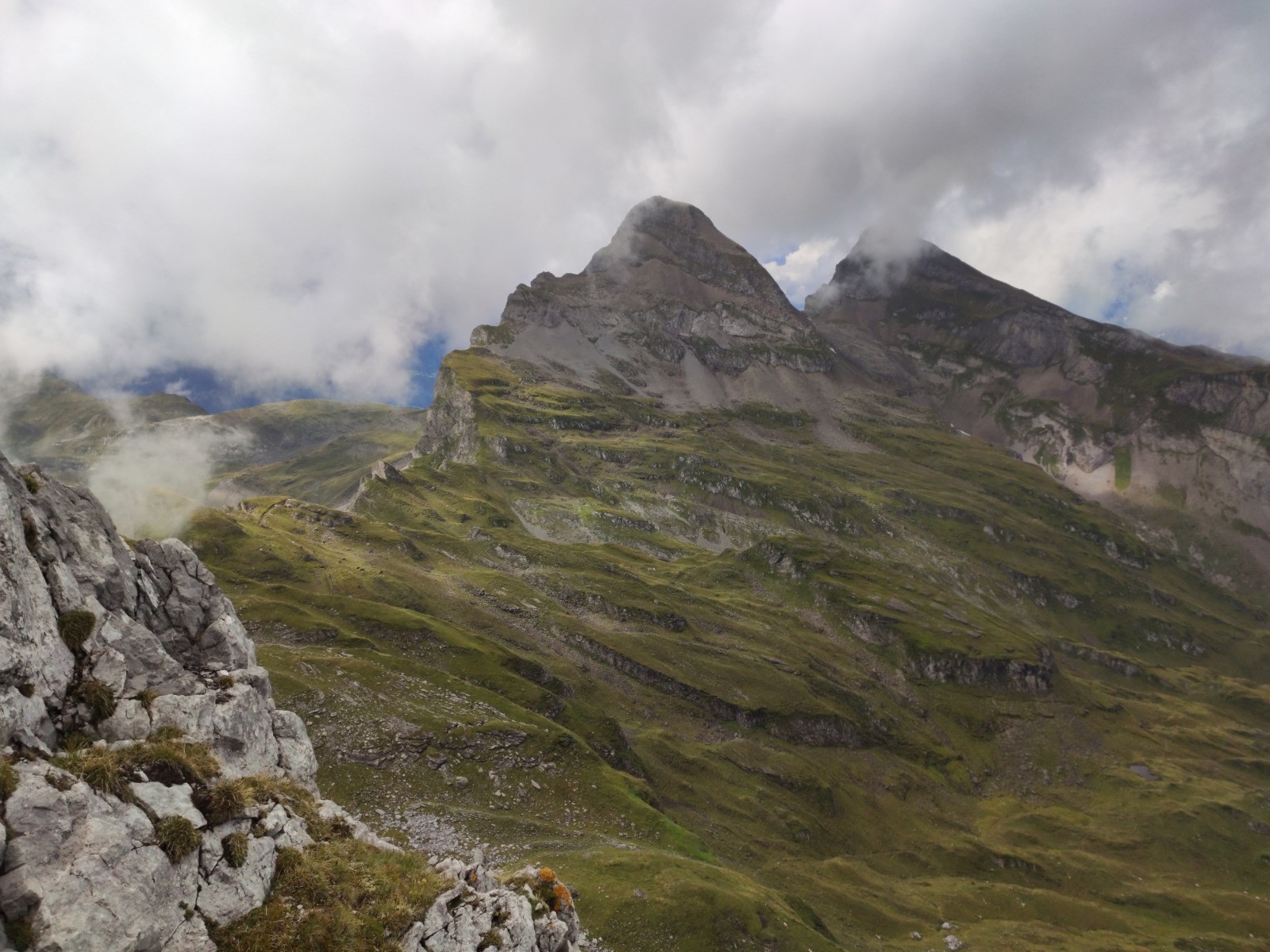
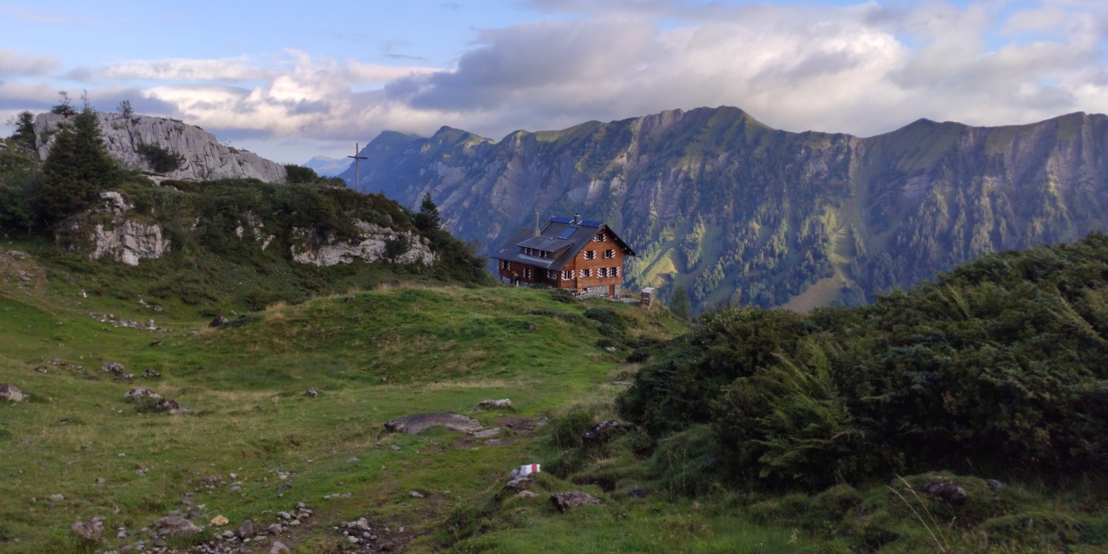
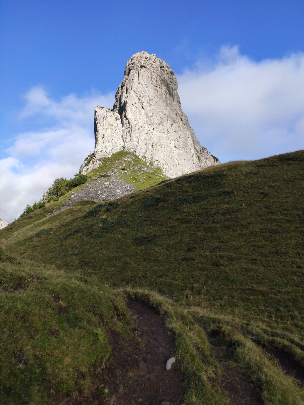
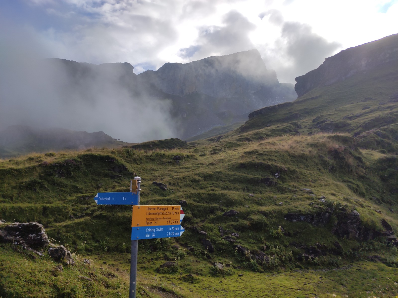
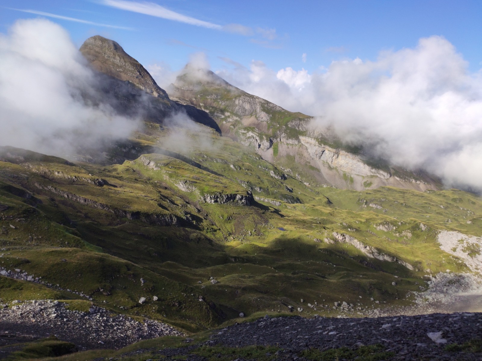
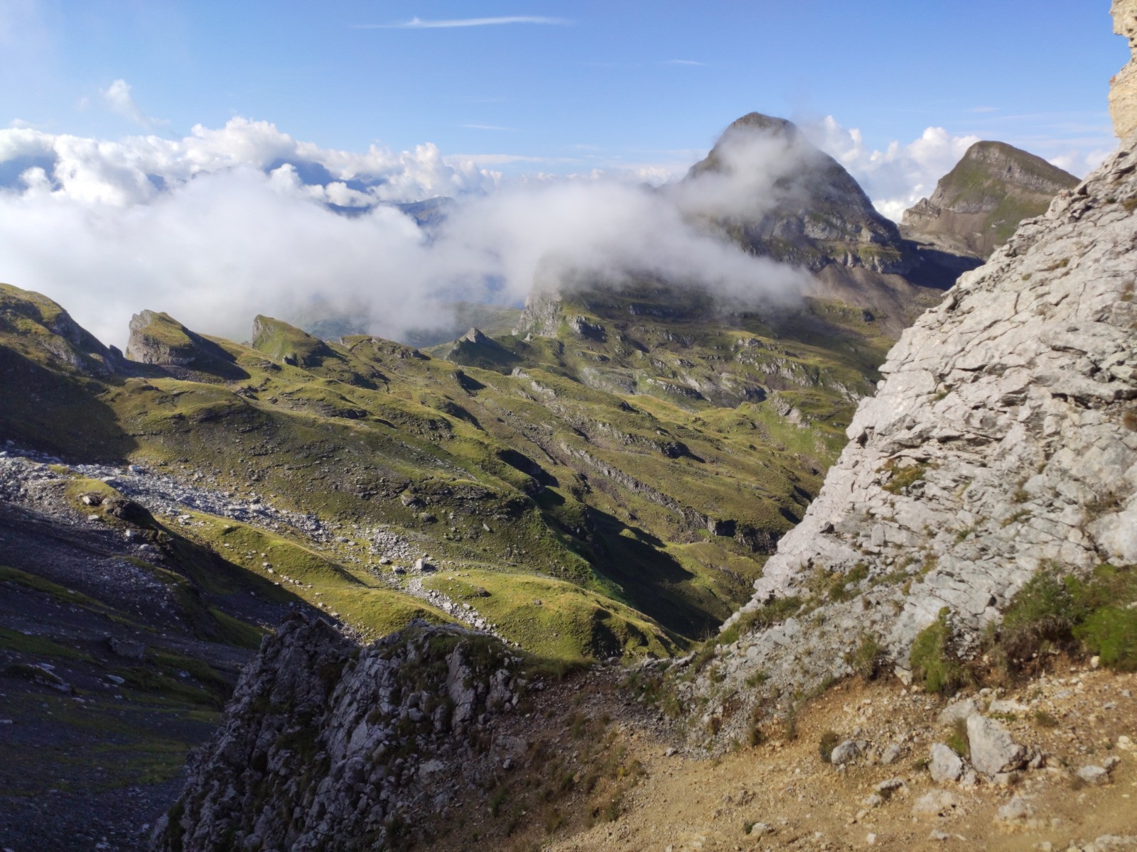
Lidernenhütte SAC (1729 m) - Ober Hüttli - Seelenen - Chaisertor - [escalade niveau 3] - Chaiserstock (2515 m) - [escalade niveau 3] - Chaisertor - Liderner Plänggeli - Rossstocklücke - Fulen (2491 m) - Rossstocklücke - Ober Hüttli - Lidernenhütte SAC - Broholz - Chäppeliberg
 Actions
14.2 km

+1181 m
/-1730 m
05:22

Cliquez pour activer


Cliquez et déplacez la souris sur le profil pour analyser un tronçon (2 doigts sur mobile)
 Photos
Commentaires
Pas encore de commentaire, connectez-vous pour en ajouter un.
Connectez-vous pour ajouter un commentaire
Longueur et nombre de points

14.23 km

3135 pts
Denivelé et altitude
Calculés avec un seuil de 10 mètres et un lissage sur 5 points

1180 m

1730 m

2504 m

1181 m

2029 m
Date et durée

15 août 2022
07:58

15 août 2022
16:19

08:20:48

05:22:46

02:58:02
Vitesses et denivelés horaires

2.6 km/h
Détail »

5.3 km/h
au km 11

439 m/h
2h33m42s

-672 m/h
2h28m56s
| km | Temps | Vitesse | Pause |
|---|
| 1 | 25'05" | 2.4 km/h | |
| 2 | 22'31" | 2.7 km/h | |
| 3 | 24'11" | 2.5 km/h | 07'16" |
| 4 | 35'50" | 1.7 km/h | 34'54" |
| 5 | 24'47" | 2.4 km/h | 47'00" |
| 6 | 24'04" | 2.5 km/h | |
| 7 | 18'51" | 3.2 km/h | 04'00" |
| 8 | 32'49" | 1.8 km/h | 42'15" |
| 9 | 20'50" | 2.9 km/h | 06'11" |
| 10 | 18'29" | 3.2 km/h | |
| 11 | 22'37" | 2.7 km/h | |
| 12 | 15'31" | 3.9 km/h | 32'32" |
| 13 | 16'09" | 3.7 km/h | |
| 14 | 16'59" | 3.5 km/h | 03'54" |
Plus

Affichée 268 fois et téléchargée 30 fois depuis le 18.08.22 21:43
Carte + Profil [Afficher un aperçu]
<iframe src="https://www.visugpx.com/03JMvr5Gd8?iframe" allowfullscreen style="border: 0;width: 100%; height: 540px;" loading="lazy" scrolling="no"></iframe>
Carte uniquement [Afficher un aperçu]
<iframe src="https://www.visugpx.com/03JMvr5Gd8?iframe&maponly" allowfullscreen style="border: 0;width: 100%; height: 540px;" loading="lazy" scrolling="no"></iframe>
 ForumsToposLes plus belles randosSegments
 Offre Premium
 Connexion


 154
154 394
394 145 [Légende]


