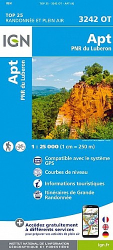
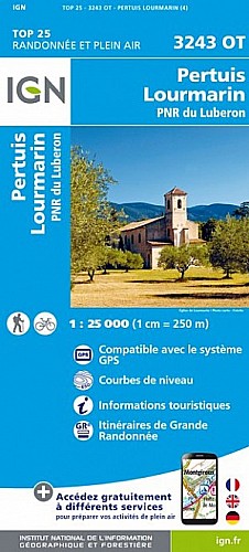
Une partie du parcours balisé (N56)
La trace originale redescend par la combe plate. Sur cette trace, une fois arrivé a l'aire des mascas, on redescend direct par une descente sans doute moins intéressante que la combe mais qui permet un tour plus rapide.
Attention, la montée se fait en grande partie sur une piste raide, et fort caillouteuse (heureusement à l'ombre) avant de finir sur la route.
 Actions
15 km

+486 m/-489 m

01:30

Cliquez pour activer


Cliquez et déplacez la souris sur le profil pour analyser un tronçon (2 doigts sur mobile)
Commentaires
Pas encore de commentaire, connectez-vous pour en ajouter un.
Connectez-vous pour ajouter un commentaire
Longueur et nombre de points

15.47 km

4149 pts
Denivelé et altitude
Calculés avec un seuil de 30 mètres et un lissage sur 15 points

486 m

490 m

671 m

335 m

459 m
Date et durée

20 août 2020
09:17

20 août 2020
10:43

01:25:46

01:23:19

00:02:27
Vitesses et denivelés horaires

11.1 km/h
Détail »

54.8 km/h
au km 13.7

689 m/h
0h42m21s

-1235 m/h
0h23m55s
| km | Temps | Vitesse | Pause |
|---|
| 1 | 04'44" | 12.7 km/h | |
| 2 | 06'20" | 9.5 km/h | |
| 3 | 05'55" | 10.1 km/h | |
| 4 | 08'24" | 7.1 km/h | |
| 5 | 05'34" | 10.8 km/h | |
| 6 | 05'15" | 11.4 km/h | |
| 7 | 06'44" | 8.9 km/h | |
| 8 | 06'35" | 9.1 km/h | |
| 9 | 08'44" | 6.9 km/h | |
| 10 | 05'40" | 10.6 km/h | |
| 11 | 05'19" | 11.3 km/h | |
| 12 | 04'29" | 13.4 km/h | |
| 13 | 03'54" | 15.4 km/h | |
| 14 | 01'59" | 30.3 km/h | |
| 15 | 02'08" | 28.2 km/h | |
Plus

Affichée 249 fois et téléchargée 6 fois depuis le 22.08.20 14:30
Carte + Profil [Afficher un aperçu]
<iframe src="https://www.visugpx.com/bA1PC7DowQ?iframe" allowfullscreen style="border: 0;width: 100%; height: 540px;" scrolling="no"></iframe>
Carte uniquement [Afficher un aperçu]
<iframe src="https://www.visugpx.com/bA1PC7DowQ?iframe&maponly" allowfullscreen style="border: 0;width: 100%; height: 540px;" scrolling="no"></iframe>


Nous avons pris en compte votre choix.
Vous souhaitez maîtriser les informations qui peuvent être recueillies lors de votre navigation et avez refusé les cookies de personnalisation des annonces, c'est légitime.
Parce que le service fourni par VisuGPX a un coût, accepteriez-vous quand même que nous utilisions des cookies pour vous présenter des annonces non personnalisées ? Ces cookies ne sont pas des cookies de tracking mais de simples des cookies techniques de diffusion qui garantissent le respect votre vie privée.


 Actions
  15 km
15 km +486 m/-489 m
 01:30
01:30

 Cliquez et déplacez la souris sur le profil pour analyser un tronçon (2 doigts sur mobile)
 61
61 114
114 45 [Légende]

 Pour soutenir VisuGPX, faites le bon choix